
Witmarsum, former municipality of the Netherlands
Location: Friesland
Inception: January 1, 1812
Capital city: Witmarsum
GPS coordinates: 53.10190,5.46720
Latest update: March 13, 2025 12:35
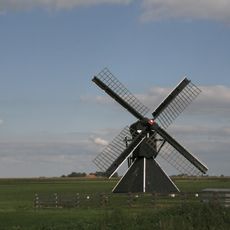
De Hiemerter Mole
3.5 km
Grauwe Kat
1.9 km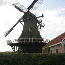
De Onderneming
336 m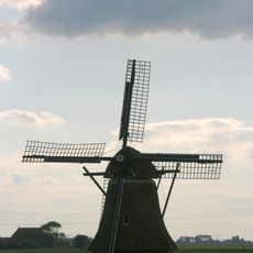
Pankoekstermolen
3 km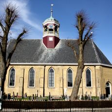
Koepelkerk, Witmarsum
86 m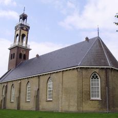
Lambertuskerk, Arum
3.1 km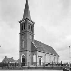
Protestantse kerk, Schettens
2.3 km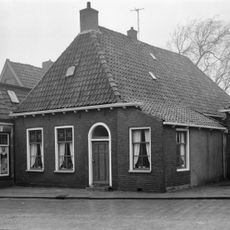
Doopsgezinde kerk, Pingjum
2.4 km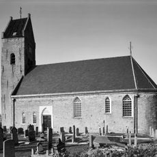
Hervormde kerk, Schraard
2.7 km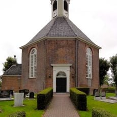
Hervormde kerk, Wons
3.5 km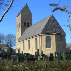
Victoriuskerk, Pingjum
2.4 km
Gereformeerde kerk, Arum
3.1 km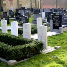
Wonseradeel (Witmarsum) Protestant Churchyard
80 m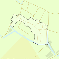
Rijksbeschermd gezicht Pingjum
2.4 km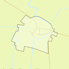
Rijksbeschermd gezicht Schraard
2.7 km
Wonseradeel
214 m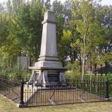
Gedenknaald voor Menno Simonsz
1 km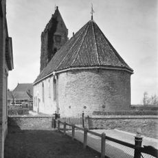
Hervormde kerk: cemetery
2.7 km
Sytzamaweg 13, Arum
3.2 km
Van Camminghaweg 34, Arum
3 km
Van Osingaweg 1, Schettens
2.3 km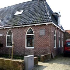
Schoolsingel 7, Arum
3.1 km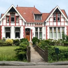
Bank/directeurswoning met chaletstijl-invloeden
3.3 km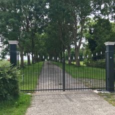
Terrein van de voormalige Camminghastate
3 km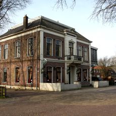
De Gekroonde Leeuw
3.2 km
Kaatsplein 5, Witmarsum
49 m
Kaatsplein 3, Witmarsum
50 m
Voorm. pakhuis onder hoog zadeldak tegen puntgevel
3.1 kmReviews
Visited this place? Tap the stars to rate it and share your experience / photos with the community! Try now! You can cancel it anytime.
Discover hidden gems everywhere you go!
From secret cafés to breathtaking viewpoints, skip the crowded tourist spots and find places that match your style. Our app makes it easy with voice search, smart filtering, route optimization, and insider tips from travelers worldwide. Download now for the complete mobile experience.

A unique approach to discovering new places❞
— Le Figaro
All the places worth exploring❞
— France Info
A tailor-made excursion in just a few clicks❞
— 20 Minutes