
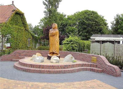
Hoeder fan ‘e frede, oorlogsmonument in Driezum, Nederland
Location: Dantumadiel
Inception: 2004
Creator: Oene van der Veen
Official opening: April 4, 2004
Address: Kerkstraat 19, 9114 RA, Driesum (Dantumadiel), Friesland, Nederland
GPS coordinates: 53.29623,6.04686
Latest update: March 8, 2025 23:07
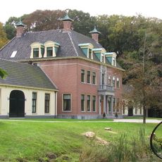
Rinsma State
525 m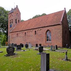
Protestant church of Damwâld-Moarrewâld
3.4 km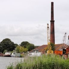
Stonefactory, Oostrum
3.3 km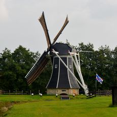
De Mearmin
2.3 km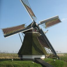
Beintemapoldermolen
3.3 km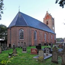
Protestant church of Damwâld-Dantumawâld
2.4 km
Hoofdweg 46
3.3 km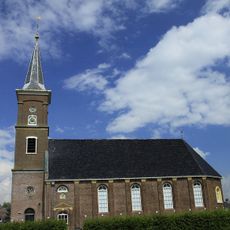
Hervormde kerk, Driezum
150 m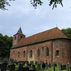
Hervormde kerk, Westergeest
2.6 km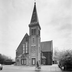
Gereformeerde kerk, Wâlterswâld
954 m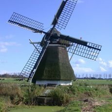
Beintemahûs
3.3 km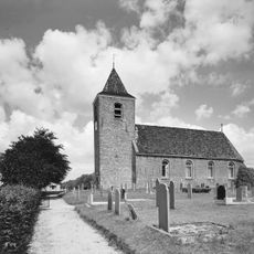
Hervormde kerk, Wâlterswâld
1.4 km
Doopsgezinde kerk, Damwâld
2.8 km
Kruisweg
3.3 km
Town hall Dantumadiel
3.5 km
De Lichtbron
1.3 km
Sionstsjerke
3.3 km
Kristlike Grifformearde Tsjerke Andréasgemeente
3.6 km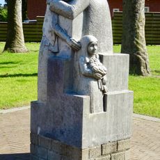
Gemeentelijk oorlogsmonument
3.3 km
Eelke Meinertswei 2, Westergeest
2.6 km
Oostwoud 3, Driezum
978 m
Tsjerkestrjitte 2, Driezum
111 m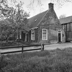
Achterweg 12, Wâlterswâld
933 m
Eelke Meinertswei 5, Westergeest
2.7 km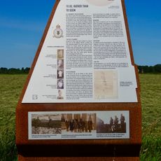
Monument Whitley V Z9280
706 m
Eelke Meinertswei 22, Westergeest
2.7 km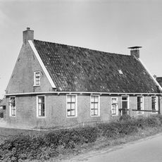
Voorweg 6, Driezum
282 m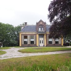
Hervormde kerk, pastorie
384 mReviews
Visited this place? Tap the stars to rate it and share your experience / photos with the community! Try now! You can cancel it anytime.
Discover hidden gems everywhere you go!
From secret cafés to breathtaking viewpoints, skip the crowded tourist spots and find places that match your style. Our app makes it easy with voice search, smart filtering, route optimization, and insider tips from travelers worldwide. Download now for the complete mobile experience.

A unique approach to discovering new places❞
— Le Figaro
All the places worth exploring❞
— France Info
A tailor-made excursion in just a few clicks❞
— 20 Minutes