
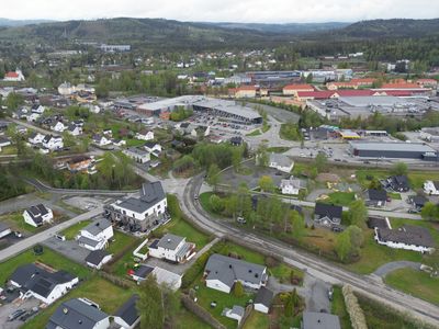
Vestre Toten Municipality, municipality in Innlandet, Norway
Location: Innlandet
Inception: 1838
Capital city: Raufoss
Website: https://www.vestre-toten.kommune.no/
Shares border with: Østre Toten Municipality, Gjøvik Municipality, Gran Municipality, Søndre Land Municipality, Hurdal Municipality
Website: https://vestre-toten.kommune.no
GPS coordinates: 60.67917,10.61583
Latest update: March 13, 2025 19:36
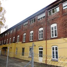
Raufoss Ammunisjonsfabrikker
5.5 km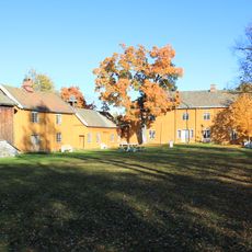
Stenberg, Oppland
7.9 km
Raufoss Church
5.1 km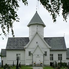
Kolbu Church
10.2 km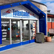
Toten Badeland
4.9 km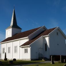
Eina Church
12.1 km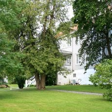
Hoff prestegård
12.7 km
Kirkevangen
4.7 km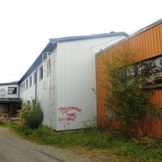
Korterud Meieri
5.2 km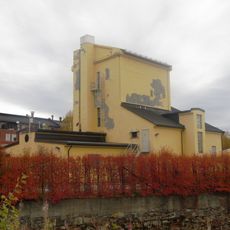
Kraftverk, Raufoss Patronfabrikk
5.5 km
Breiskalldemningen
8.2 km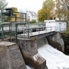
Raufossdemningen
5.2 km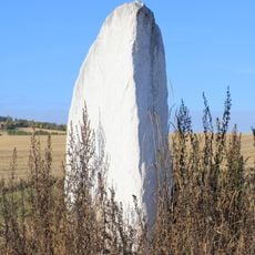
The Majer Stone
12.4 km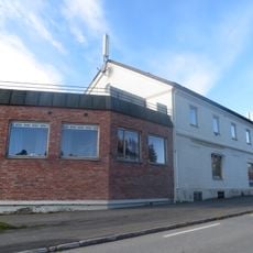
Eina Meieri
5.7 km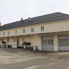
Kolbu Meieri
7.7 km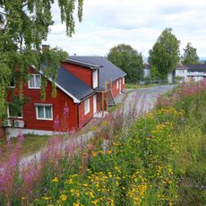
Solhaug Trevarefabrikk
16.1 km
Toten Potetmelfabrikk
11 km
Demning, Smedshammer
4.7 km
Raufoss Patronfabrikk (gamle fabrikkbygningen)
5.5 km
Breiskallen Kraftverk
9 km
Ljåsmia under Smedshammer
4.9 km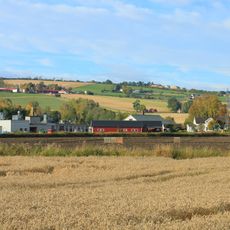
Kloppen Trevarefabrikk, Kraby
12.8 km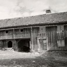
Ånnerud Aannerud aanerud
2.7 km
Mølle og sag, Raufoss gård
5.3 km
Alm, store Alm, Alm store
8.4 km
Toten Flatbrødfabrikk
10.7 km
Bråstad Mølle
10.7 km
Haugen
12.5 kmReviews
Visited this place? Tap the stars to rate it and share your experience / photos with the community! Try now! You can cancel it anytime.
Discover hidden gems everywhere you go!
From secret cafés to breathtaking viewpoints, skip the crowded tourist spots and find places that match your style. Our app makes it easy with voice search, smart filtering, route optimization, and insider tips from travelers worldwide. Download now for the complete mobile experience.

A unique approach to discovering new places❞
— Le Figaro
All the places worth exploring❞
— France Info
A tailor-made excursion in just a few clicks❞
— 20 Minutes