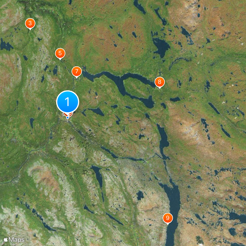
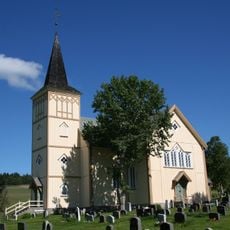
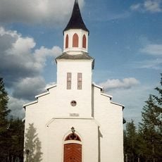
Røros Municipality, Mountain municipality in Trøndelag, Norway
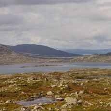
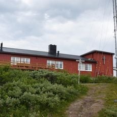
Røros Municipality sits on a plateau at 628 meters above sea level in Trøndelag and covers forests of birch and pine trees near Aursund lake and Glåma river. The terrain spreads across this elevated highland landscape.
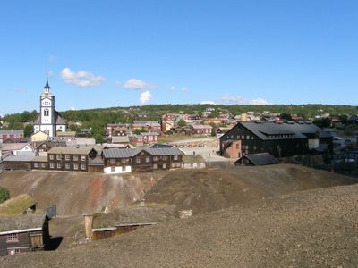
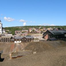
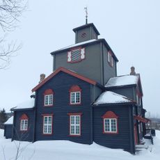
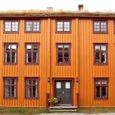
Copper mining started in 1644 and turned the area into a major center for Norwegian mineral extraction until operations closed in 1977. This long period of extraction deeply shaped the region's development.
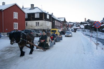
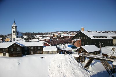
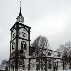
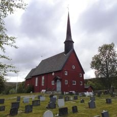
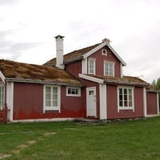
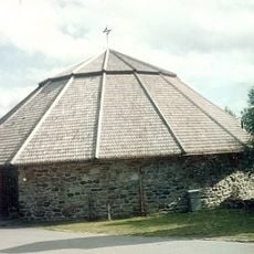
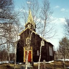
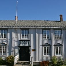
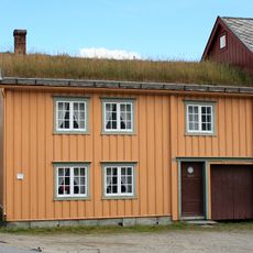
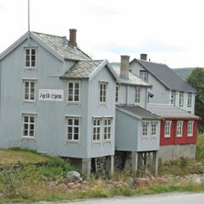
The municipality shows how people organized their wooden houses around courtyards, a practical arrangement that shaped the community's daily life. This layout reflects the way residents adapted to long winters and the rhythm of mining work.
The area is accessible throughout the year, though winters are extreme and can bring heavy snowfall and bitter cold. Visitors planning to come between December and March should prepare for lengthy snowy seasons.
Winters here rank among the coldest in southern Norway, with temperatures dropping below minus 50 degrees Celsius. This extreme cold directly shaped how buildings were constructed and how daily life unfolds.
Location: Trøndelag
Inception: 1838
Capital city: Røros
Elevation above the sea: 628 m
Reference: 5025
Shares border with: Tydal Municipality, Holtålen Municipality, Os Municipality, Engerdal Municipality, Härjedalen Municipality
Website: https://roros.kommune.no
GPS coordinates: 62.57417,11.38306
Latest update: December 19, 2025 23:49
Røros Church
432 m
Hessdalen Church
26.2 km
Røros Mining Town and the Circumference
132 m
Ratvolden
16.1 km
Røros Chapel
582 m
Glåmos Church
11.2 km
Brekken Church
26.3 kmFemundshytta
40 km
Os Church
12.7 kmEngan skanse
26.3 kmKvitsanden
1.5 km
Hodalen Church
25.4 km
Narbuvoll Church
25.2 km
Bolagen
37.4 km
Bergskrivergården
208 m
Røros fjellkirke
4.6 km
Rasmusgården
141 m
Bekholdtgården
168 m
Press museum Fjeld-Ljom
208 mLille Korssjøen
23.9 kmHodalen
29.5 kmGalådalen
28.7 kmAdamsfossen
34.8 kmFlensmarka
27.4 kmViglåa
36.9 kmFinnfloen
33.7 kmVättafjället
40.7 kmDjuptjønna
34.6 kmVisited this place? Tap the stars to rate it and share your experience / photos with the community! Try now! You can cancel it anytime.
Discover hidden gems everywhere you go!
From secret cafés to breathtaking viewpoints, skip the crowded tourist spots and find places that match your style. Our app makes it easy with voice search, smart filtering, route optimization, and insider tips from travelers worldwide. Download now for the complete mobile experience.
A unique approach to discovering new places❞
— Le Figaro
All the places worth exploring❞
— France Info
A tailor-made excursion in just a few clicks❞
— 20 Minutes