Enable Location

We need your location to show you interesting places around you

Discover nearby places

Find interesting locations and hidden gems around you

Precise directions

Get accurate directions and distances to places

Your location is never shared with other users. It's only used when you tap the location button.

Jiehkkevárri

Log in to your account

Start exploring — it's free

Trusted by 65,035 travelers worldwide

Continue with Google
Continue with Apple
or

We will send you a code to connect

By continuing, you accept our Terms and Conditions and our Privacy Policy

Check your inbox

We've sent a pincode in your inbox. Please enter the code below.

Jiehkkevárri
Discussion Reviews 1 Photos
3.7k Popularity

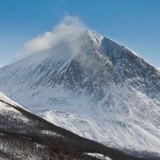
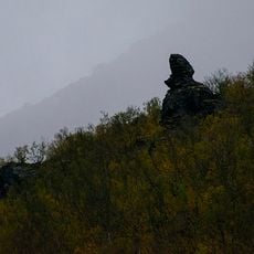
Jiehkkevárri, Mountain summit in Lyngen Alps, Norway

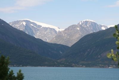
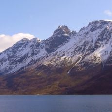
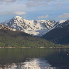
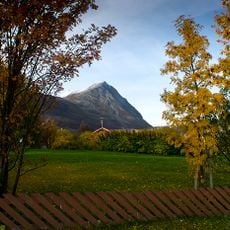
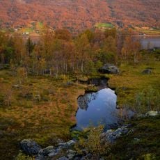
Jiehkkevárri is the highest summit in Troms county, located in the Lyngen Alps of northern Norway, rising to about 1,834 meters (6,017 feet). Its slopes are covered in glaciers and steep ice fields that give the mountain a sharp, imposing profile when seen from the fjord below.

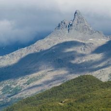
The first recorded ascent was made in 1899 by British mountaineer Geoffrey Hastings together with Norwegian Elias Hogrenning. Their climb helped draw wider attention to the Lyngen Alps as a destination for mountaineering in the late 19th century.

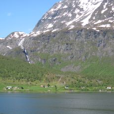
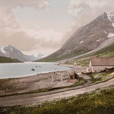
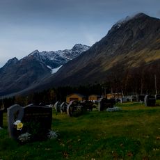
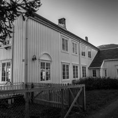
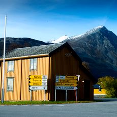
The name comes from Northern Sami, where 'jiehkki' means glacier and 'várri' means mountain, pointing to the close ties between this peak and the indigenous Sami people. For generations, the mountain has served as a recognizable landmark for communities living along the Lyngen fjord.

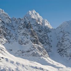
Reaching the summit requires glacier travel experience and proper mountaineering equipment, so first-time visitors are advised to hire a local guide. The summer months offer the longest daylight and generally more stable snow conditions for the ascent.

The northeast-facing flank is known for serac falls from unstable ice cliffs above the route, making it one of the most avoided approaches on the mountain. Even experienced alpinists tend to steer clear of this side and opt for other lines instead.

The community of curious travelers

AroundUs brings together thousands of curated places, local tips, and hidden gems, enriched daily by 60,000 contributors worldwide.

Start exploring
GPS coordinates
69.46921,19.87873
Latest update
March 3, 2026 14:01
Reviews
Share your experience

No review yet

Discussions
Start a discussion...

No discussion yet

« Jiehkkevárri - Mountain summit in Lyngen Alps, Norway » is provided by Around Us (aroundus.com). Images and texts are derived from Wikimedia project under a Creative Commons license. You are allowed to copy, distribute, and modify copies of this page, under the conditions set by the license, as long as this note is clearly visible.

Discover hidden gems everywhere you go!

From secret cafés to breathtaking viewpoints, skip the crowded tourist spots and find places that match your style. Our app makes it easy with voice search, smart filtering, route optimization, and insider tips from travelers worldwide. Download now for the complete mobile experience.

Around Us App Screenshot

A unique approach to discovering new places

Le Figaro

All the places worth exploring

France Info

A tailor-made excursion in just a few clicks

20 Minutes

Around Us
Travel Guide & Maps
Download

Send to your phone

QR Code
1

Open the camera app on your mobile.

2

Point at the QR code with your camera. A notification will appear.

3

Tap the notification to open the link.