
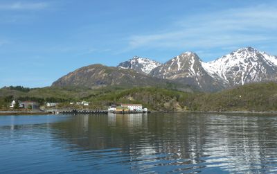
Skutvika, village in Hamarøy, Norway
Location: Hamarøy
Elevation above the sea: 14 m
GPS coordinates: 68.01667,15.33333
Latest update: March 3, 2025 02:29
Vestfjorden
23.9 km
Knut Hamsun Centre
15 km
Batteria Dietl
15.1 km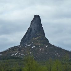
Hamarøyskaftet
7.7 km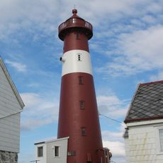
Tranøy Lighthouse
22.1 km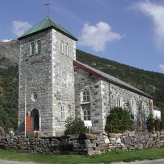
Steigen Church
17.3 km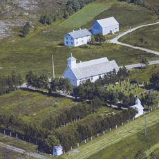
Leinesfjord Chapel
29.9 km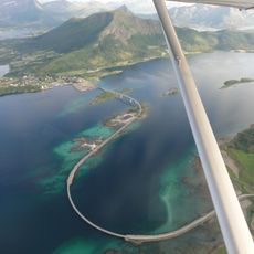
Engeløy Bridges
13.5 km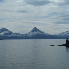
Sagfjorden
11.1 km
Prestegårdsskogen Nature Reserve
16.4 km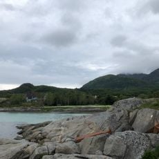
Stella Maris
326 m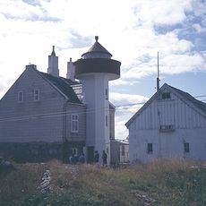
Flatøy fyr
26 km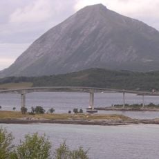
Engeløy High Bridge
14 km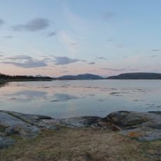
Kaldvågfjorden
8.5 km
Den hellige Dorotheas kapell
23 km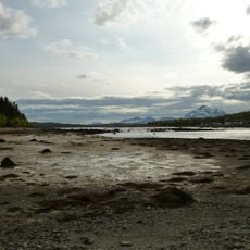
Presteidfjorden
17.1 km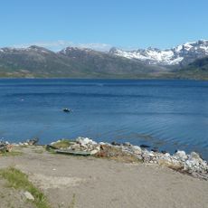
Balkjosen
22.2 km
Mørsvikfjorden
26.8 km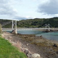
Presteidbrua
15.2 km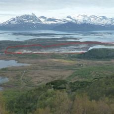
Steinslandsosen
1.7 km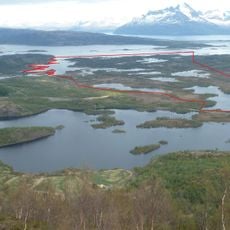
Steinslandsvatnet
2.6 km
Skjettenfjorden (fyord sa Noruwega, Steigen)
12 km
Lilandsfjorden
20.2 km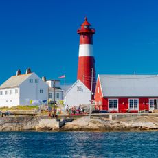
Tranøy Lighthouse
21.7 km
Engeløy Low Bridge
12.9 km
Vollmoanlegget
16.8 km
HAMSUND gård
12.1 km
Sagelv, Sagfjorden.
25.5 kmReviews
Visited this place? Tap the stars to rate it and share your experience / photos with the community! Try now! You can cancel it anytime.
Discover hidden gems everywhere you go!
From secret cafés to breathtaking viewpoints, skip the crowded tourist spots and find places that match your style. Our app makes it easy with voice search, smart filtering, route optimization, and insider tips from travelers worldwide. Download now for the complete mobile experience.

A unique approach to discovering new places❞
— Le Figaro
All the places worth exploring❞
— France Info
A tailor-made excursion in just a few clicks❞
— 20 Minutes