Utsira, municipality in Rogaland, Norway
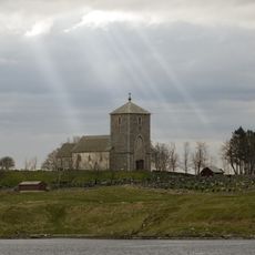
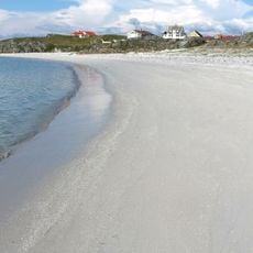
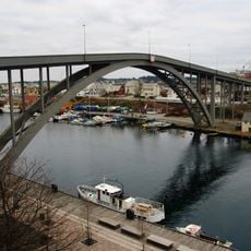
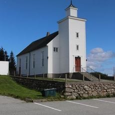
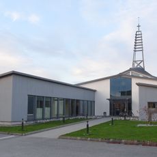
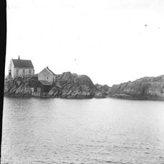
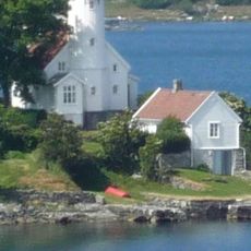
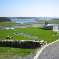
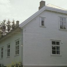
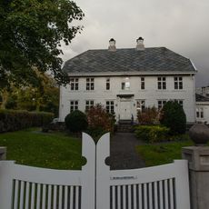
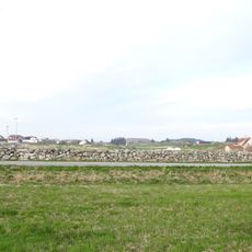
Utsira is a small island and municipality in the Rogaland region off Norway's western coast. The landscape shows rocky shorelines, grassy fields, and small beaches, with houses scattered along the coast and winding roads.
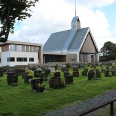
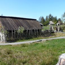
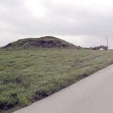
The island has been inhabited since the Stone Age, with old ruins showing humanity's long connection to the sea. In 1924, Utsira became an independent municipality after separating from Torvastad, and these borders have remained unchanged.
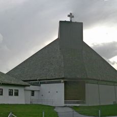
Residents call themselves sirabu and shape daily life through their close bond with the sea and wind. Fishing, craftsmanship, and community gatherings form the backbone of existence here, where everyone knows each other and neighborliness is taken for granted.
You can reach Utsira by ferry from Haugesund, which takes about an hour and runs several times daily. There are roads on the island, but no car rentals, so explore on foot and prepare for changing weather.
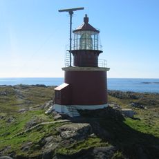
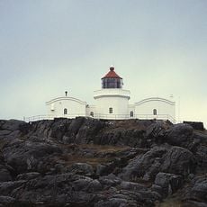
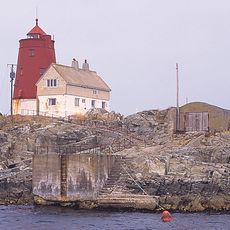
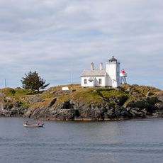
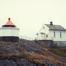
Utsira's lighthouse is Norway's highest, standing over 250 feet above sea level and operating since the mid-1800s. A modern wind-hydrogen plant now makes the island a pioneer in renewable energy, storing surplus electricity as hydrogen for later use.
The community of curious travelers
AroundUs brings together thousands of curated places, local tips, and hidden gems, enriched daily by 60,000 contributors worldwide.