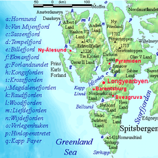
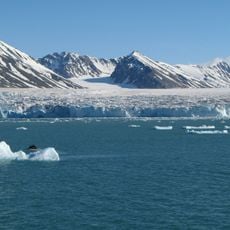
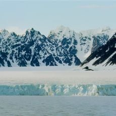
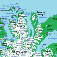
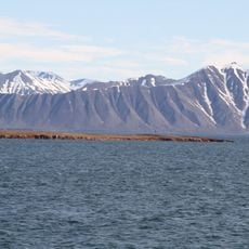
Woodfjorden, Northern fjord in Spitsbergen, Svalbard
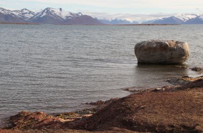
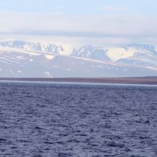
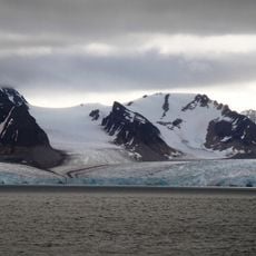
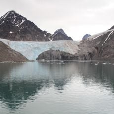
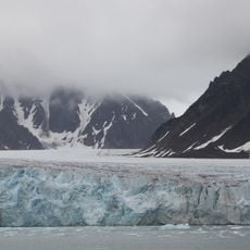
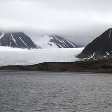
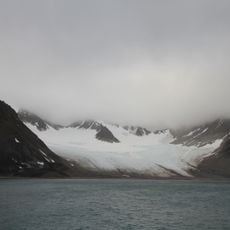
Woodfjorden is the fourth longest fjord in Spitsbergen, stretching roughly 64 kilometers into the interior of the island. The water remains deep throughout, with depths ranging from 60 to 100 meters, creating stable conditions for boats.
An English navigator from the Muscovy Company named Thomas Edge drew the first detailed map of the fjord entrance in 1625. This early charting marked when Europeans began documenting this remote northern region.
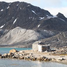
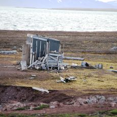
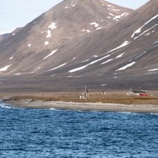
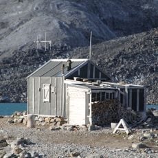
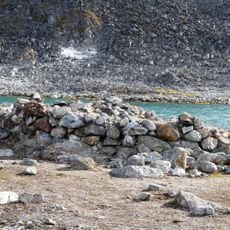
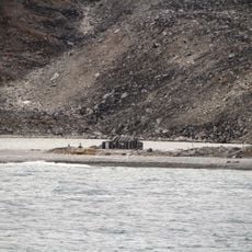
The fjord was a hunting hub in the 1900s, with trappers building shelters and stations along its shores. These abandoned structures remind visitors of the harsh frontier life that once shaped this remote landscape.
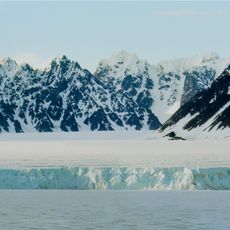
The western section is part of Northwest Spitsbergen National Park, while bird reserves sit near the Liefdefjord entrance. Visitors should expect harsh conditions and come prepared with proper gear for the Arctic environment.
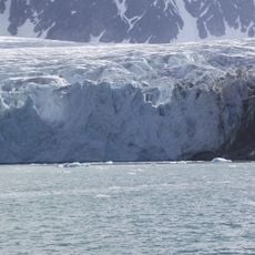
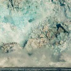
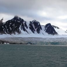
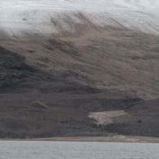
Red sandstone cliffs near Bockfjorden date back to the Devonian period and hint at the area's geologically active past. Small hot springs scattered around reveal traces of ancient volcanic activity that shaped this landscape.
The community of curious travelers
AroundUs brings together thousands of curated places, local tips, and hidden gems, enriched daily by 60,000 contributors worldwide.