Enable Location

We need your location to show you interesting places around you

Discover nearby places

Find interesting locations and hidden gems around you

Precise directions

Get accurate directions and distances to places

Your location is never shared with other users. It's only used when you tap the location button.

Jarfjorden

Log in to your account

Start exploring — it's free

Trusted by 61,975 travelers worldwide

Continue with Google
Continue with Apple
or

We will send you a code to connect

By continuing, you accept our Terms and Conditions and our Privacy Policy

Check your inbox

We've sent a pincode in your inbox. Please enter the code below.

Jarfjorden

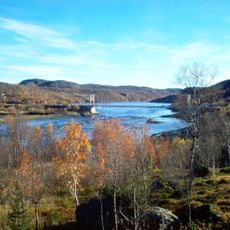
Jarfjorden, Fjord in Sør-Varanger Municipality, Norway.

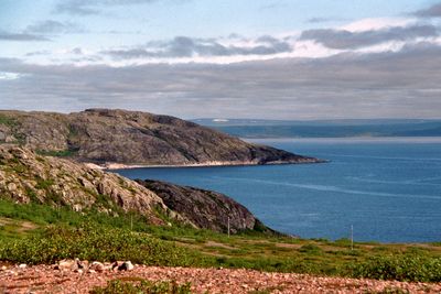
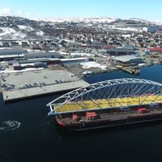
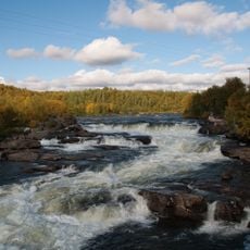
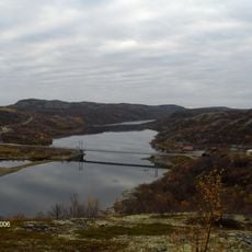
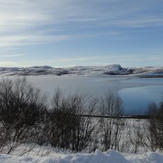
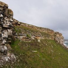
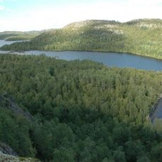
Jarfjorden is a fjord extending about 21 kilometers south from Varangerfjorden and ending at Jarfjordbotn in a westward direction. Steep rocky cliffs and deep waters characterize its shores, with National Road 886 running along the southern side.

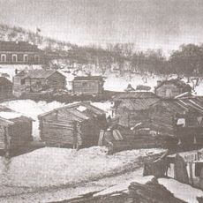
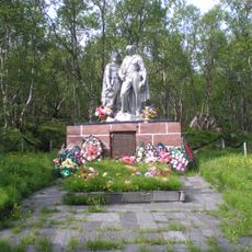
The name comes from Northern Sami, Ruovdevuonna, pointing to iron-bearing rock formations in the area. The region served as a home for people whose survival depended on the fjord's natural resources.

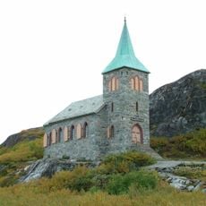
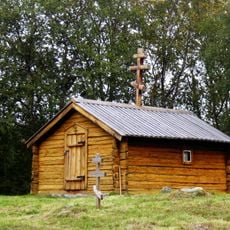
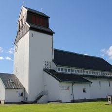
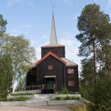
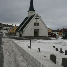
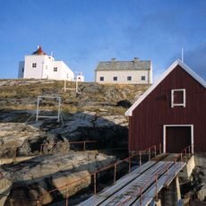
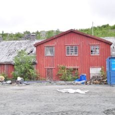
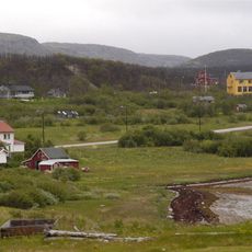
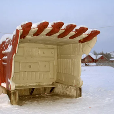
The settlements around the fjord are shaped by Norwegian and Sami traditions, with fishing having long determined how people live here. The villages on the shores reflect this maritime heritage and show how generations have worked with the fjord's natural resources.

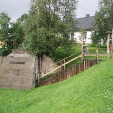
The easiest way to explore the fjord is to drive along Road 886 on the southern side, where views of the coast unfold from the road. Several small settlements line the shore and offer places to stop and explore.

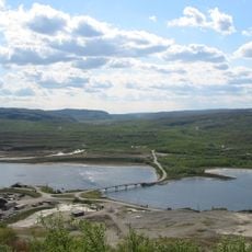
The geological formations here include some of Norway's oldest rock types, dating back billions of years to Earth's earliest history. These ancient layers hold clues about the planet's deep past.

The community of curious travelers

AroundUs brings together thousands of curated places, local tips, and hidden gems, enriched daily by 60,000 contributors worldwide.

Start exploring
Part of
Varangerfjord
GPS coordinates
69.78690,30.41560
Latest update
December 14, 2025 16:42
« Jarfjorden - Fjord in Sør-Varanger Municipality, Norway » is provided by Around Us (aroundus.com). Images and texts are derived from Wikimedia project under a Creative Commons license. You are allowed to copy, distribute, and modify copies of this page, under the conditions set by the license, as long as this note is clearly visible.

Discover hidden gems everywhere you go!

From secret cafés to breathtaking viewpoints, skip the crowded tourist spots and find places that match your style. Our app makes it easy with voice search, smart filtering, route optimization, and insider tips from travelers worldwide. Download now for the complete mobile experience.

Around Us App Screenshot

A unique approach to discovering new places

Le Figaro

All the places worth exploring

France Info

A tailor-made excursion in just a few clicks

20 Minutes

Around Us
Travel Guide & Maps
Download

Send to your phone

QR Code
1

Open the camera app on your mobile.

2

Point at the QR code with your camera. A notification will appear.

3

Tap the notification to open the link.