
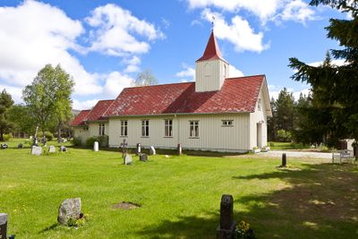
Tufsingdal Chapel, church in Os, Innlandet, Norway
Location: Os Municipality
Architects: Arne E. Sæther
GPS coordinates: 62.30333,11.71972
Latest update: March 2, 2025 22:45
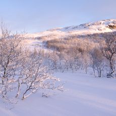
Femundsmarka National Park
22.7 km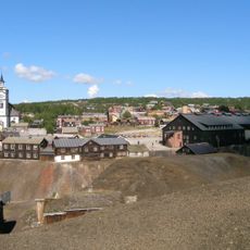
Røros Mining Town and the Circumference
34.7 km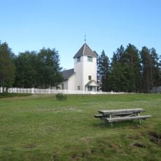
Elgå Church
19.1 km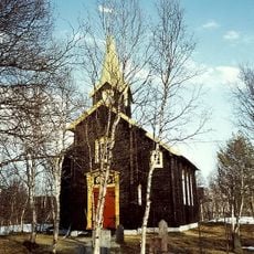
Hodalen Church
27.7 km
Narbuvoll Church
14.1 km
Holøydalen Church
18.1 km
Sømådalen Church
22.9 km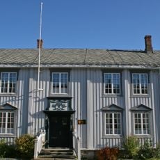
Bergskrivergården
34.8 km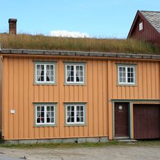
Rasmusgården
34.8 km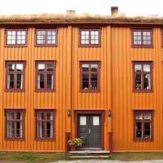
Bekholdtgården
34.8 km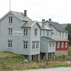
Press museum Fjeld-Ljom
34.7 km
Narjordet søndre (Oddentunet), Os museum
21.9 km
Røros Mining Town Cultural Landscapes and Winter Transport Route
34.7 km
Krutthuset
34.6 km
Sleggveien 5 - Langsstuggu - Løssistuggu
34.7 km
Spjellstuggu
34.7 km
Sleggveien 8
34.7 km
Sleggveien 6
34.7 km
Sleggveien 10 - Bokkstuggu (Jo-Mælastugu)
34.7 km
Holdenstuggu
34.7 km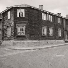
Kojedalshusa
34.7 km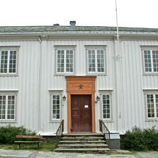
Direktørgårde (rådhuset)
34.8 km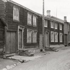
Sleggveien 4 - Bakkan
34.7 km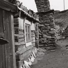
Sleggveien 7 - Ola Mælastuggu (Tyristuggu)
34.7 km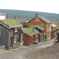
Sleggveien 3
34.7 km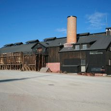
Malmplassen
34.8 km
Holm
31.9 km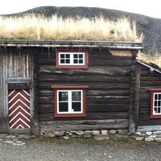
Perstuggu
34.7 kmReviews
Visited this place? Tap the stars to rate it and share your experience / photos with the community! Try now! You can cancel it anytime.
Discover hidden gems everywhere you go!
From secret cafés to breathtaking viewpoints, skip the crowded tourist spots and find places that match your style. Our app makes it easy with voice search, smart filtering, route optimization, and insider tips from travelers worldwide. Download now for the complete mobile experience.

A unique approach to discovering new places❞
— Le Figaro
All the places worth exploring❞
— France Info
A tailor-made excursion in just a few clicks❞
— 20 Minutes