
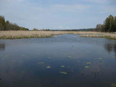
Gjølsjøen, protected area in Norway
Location: Marker Municipality
Inception: May 8, 1992
GPS coordinates: 59.44778,11.68750
Latest update: March 3, 2025 02:54
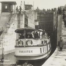
Turisten
16.4 km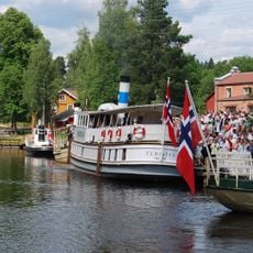
Ørje sluser
4.3 km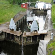
Strømsfoss sluser
16.5 km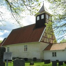
Rødenes Church
16.5 km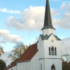
Rakkestad Church
18.5 km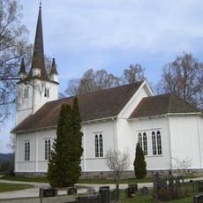
Øymark Church
3.4 km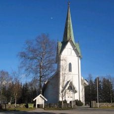
Trømborg Church
19.7 km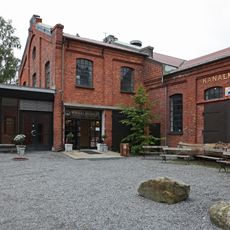
Haldenvassdragets Kanalmuseum
4.2 km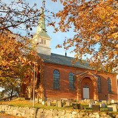
Degernes Church
18.2 km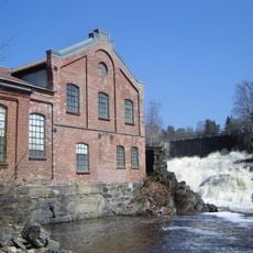
Ørje Brug
4.2 km
Ögårn at Dusserud
11.5 km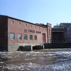
Ørje power station
4.2 km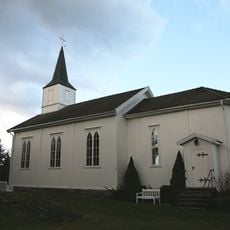
Klund Church
9 km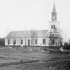
Holmedal Church
15.7 km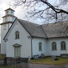
Töcksmark Church
10.5 km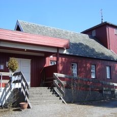
Ørje Church
4 km
Rødenes Parsonage
16.5 km
Rakkestad Parsonage
18.5 km
Rakkestad bygdetun
19.3 km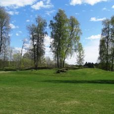
Bjerkelunden
13.7 km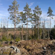
Bredmosen
3.7 km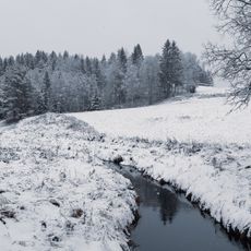
Falldalen
16.7 km
Hjemmefrontmuseet Rakkestad
19.4 km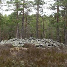
Trollbergrøysa
13.8 km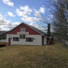
Ørje vegstasjon
3 km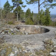
Lihammeren
3.3 km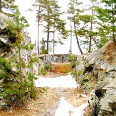
Ørjekollen
4.2 km
Lund
11.1 kmReviews
Visited this place? Tap the stars to rate it and share your experience / photos with the community! Try now! You can cancel it anytime.
Discover hidden gems everywhere you go!
From secret cafés to breathtaking viewpoints, skip the crowded tourist spots and find places that match your style. Our app makes it easy with voice search, smart filtering, route optimization, and insider tips from travelers worldwide. Download now for the complete mobile experience.

A unique approach to discovering new places❞
— Le Figaro
All the places worth exploring❞
— France Info
A tailor-made excursion in just a few clicks❞
— 20 Minutes