Krabbsundet bru
Location: Hitra Municipality
Length: 316 m
Longest Span: 150 m
Made from material: prestressed concrete
Part of: Fjellværøyforbindelsen
GPS coordinates: 63.64232,9.00398
Latest update: September 23, 2025 16:46
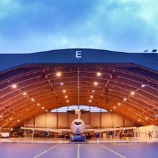
Ørland Air Station
30.3 km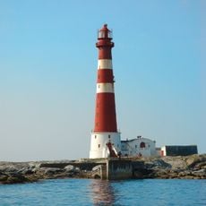
Sletringen Lighthouse
36.7 km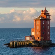
Kjeungskjær Lighthouse
27.6 km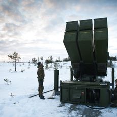
Luftvernbataljonen
30.8 km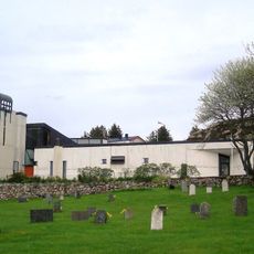
Sletta Church
19.6 km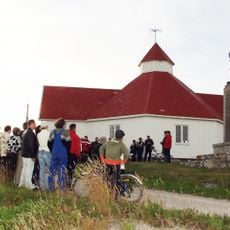
Titran Chapel
34.5 km
Agdenes Church
26.2 km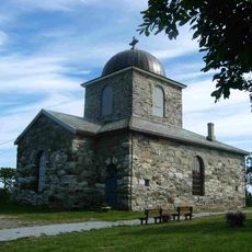
Hitra Church
13.8 km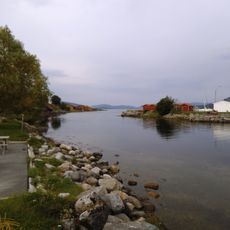
Hemnfjorden
21.7 km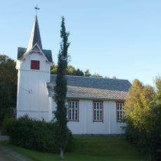
Heim Church
24.7 km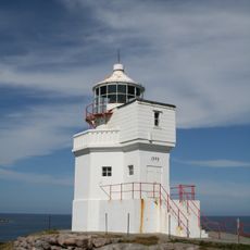
Sula Lighthouse
35.5 km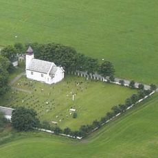
Storfosna Church
19.6 km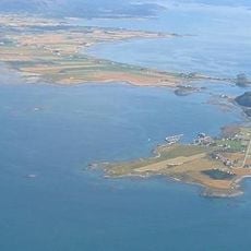
Grandefjæra
27 km
Bjugnfjorden
30.5 km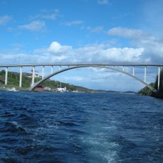
Knarrlagsundet bru
4.9 km
Sandstad Church
14.1 km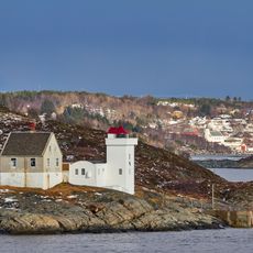
Terningen Lighthouse
16.6 km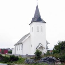
Kvenvær Church
33.3 km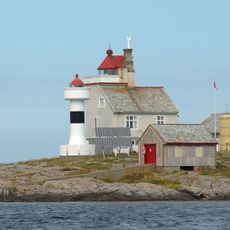
Vingleia Lighthouse
34.6 km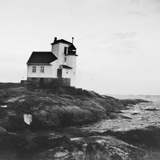
Børøyholmen Lighthouse
13.4 km
Snillfjorden
34.7 km
MAB 1./507 Husøya
28.7 km
Ørland Kysthotell
33.1 km
Uthaugsgården
30.7 km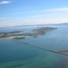
Kråkvågsvaet
17.9 km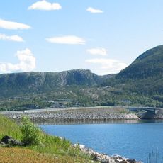
Hemnskjelbrua
18.1 km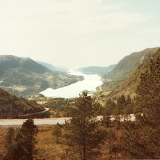
Årvågfjorden
34.1 km
Valsfjorden
36.2 kmReviews
Visited this place? Tap the stars to rate it and share your experience / photos with the community! Try now! You can cancel it anytime.
Discover hidden gems everywhere you go!
From secret cafés to breathtaking viewpoints, skip the crowded tourist spots and find places that match your style. Our app makes it easy with voice search, smart filtering, route optimization, and insider tips from travelers worldwide. Download now for the complete mobile experience.

A unique approach to discovering new places❞
— Le Figaro
All the places worth exploring❞
— France Info
A tailor-made excursion in just a few clicks❞
— 20 Minutes