
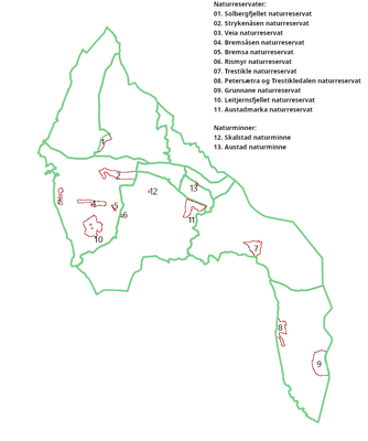
Grunnane, protected area in Norway
Location: Drammen Municipality
Location: Asker Municipality
Inception: October 2, 1981
GPS coordinates: 59.58333,10.40000
Latest update: March 3, 2025 01:38

Drammensfjord
9.3 km
Holmsbu billedgalleri
3.7 km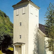
Holmestrand Church
11.4 km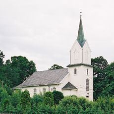
Holmsbu Church
3.6 km
Villa Holme
4.1 km
Filtvet Church
11.2 km
Olav og Emma Duuns hus
10.6 km
Ranvikholmen Nature Reserve
10.4 km
Berger Church
4.3 km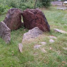
Dolmen von Rødtangen
5.4 km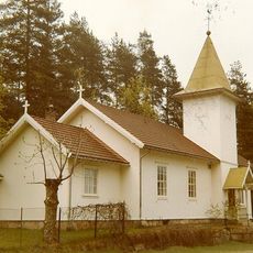
Bekkestranda Church
6.9 km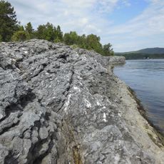
Gåserumpa
8.5 km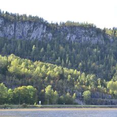
Bogen
9.8 km
Fattighuset i Holmestrand
11.4 km
Bjørkøya
8 km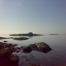
Ertsvikskjær
8.7 km
Gunnestad
10.8 km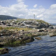
Kattholmane
8.9 km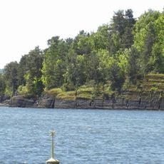
Killingholmen
7.9 km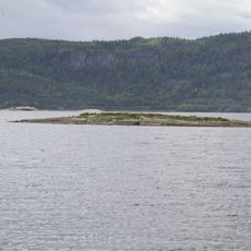
Bekkeskjæret
7.5 km
Petersætra and Trestikledalen nature reserve
4.8 km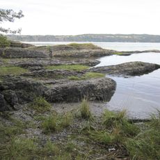
Langøya
9.6 km
Sandebukta
9.3 km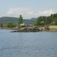
Kulpa
7.8 km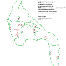
Trestikle
11.2 km
Folkestad
5.7 km
Selvik søndre
6.9 km
Holm
3.5 kmReviews
Visited this place? Tap the stars to rate it and share your experience / photos with the community! Try now! You can cancel it anytime.
Discover hidden gems everywhere you go!
From secret cafés to breathtaking viewpoints, skip the crowded tourist spots and find places that match your style. Our app makes it easy with voice search, smart filtering, route optimization, and insider tips from travelers worldwide. Download now for the complete mobile experience.

A unique approach to discovering new places❞
— Le Figaro
All the places worth exploring❞
— France Info
A tailor-made excursion in just a few clicks❞
— 20 Minutes