
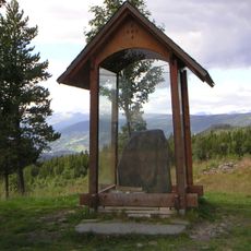
Skardsbakkan, جرف في النرويج
Location: Nord-Aurdal
Elevation above the sea: 697 m
GPS coordinates: 60.90406,9.37071
Latest update: May 17, 2025 00:42
Einang stone
28.7 km
Reinli Stave Church
10.5 km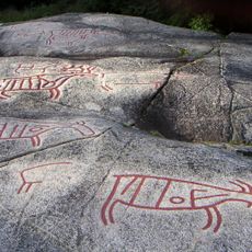
Rock carvings at Møllerstufossen
26.5 km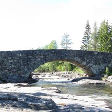
Lunde bridge
18.9 km
Valdres Folkemuseum
11.4 km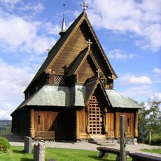
Reinli
10.4 km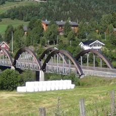
Ulnes Bridge
17.7 km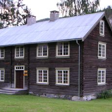
Bagn Bygdesamling
18.3 km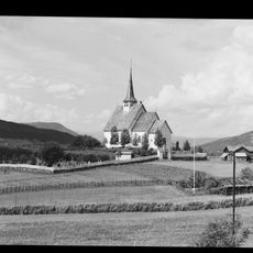
Ulnes Church
17.2 km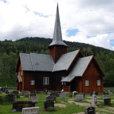
Bruflat Church
14.6 km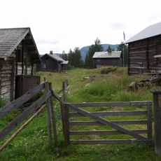
Bagnsbergatn gard
12.8 km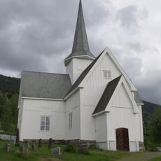
Aurdal Church
3.3 km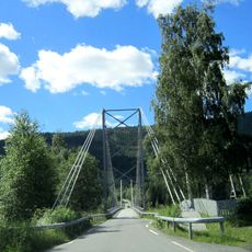
Einang Sound Bridge
27.8 km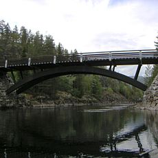
Fønhus bru
22.7 km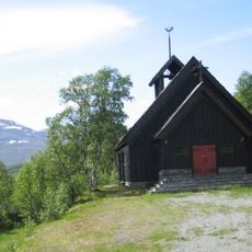
Lykkja kapell
28.8 km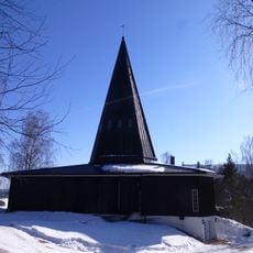
Tingnes church
10.8 km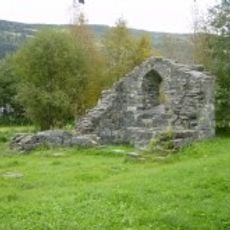
Mo kirkeruin
26.7 km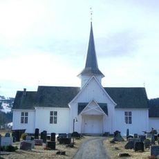
Strand church in Nord-Aurdal
13 km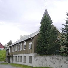
Reinli Chapel
10.5 km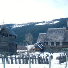
Øyjar kapell
24.7 km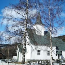
Røn Church
23.5 km
Volbufjorden
26.6 km
Valdresmusea
11.4 km
Røssjøen
26.7 km
Bagn gamle kirkested
14.1 km
Sør-Aurdal prestegård
14.1 km
Lunde bru
18.9 km
Jarstad
27.2 kmReviews
Visited this place? Tap the stars to rate it and share your experience / photos with the community! Try now! You can cancel it anytime.
Discover hidden gems everywhere you go!
From secret cafés to breathtaking viewpoints, skip the crowded tourist spots and find places that match your style. Our app makes it easy with voice search, smart filtering, route optimization, and insider tips from travelers worldwide. Download now for the complete mobile experience.

A unique approach to discovering new places❞
— Le Figaro
All the places worth exploring❞
— France Info
A tailor-made excursion in just a few clicks❞
— 20 Minutes