
Vestertinden, Berggipfel in Norwegen
Location: Træna
Elevation above the sea: 20 m
GPS coordinates: 66.55273,12.24323
Latest update: April 17, 2025 10:47
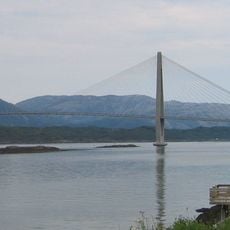
Helgeland Bridge
61.2 km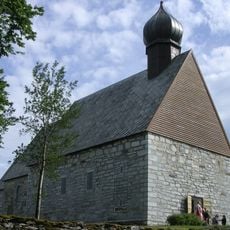
Dønnes Church
41.8 km
Kirkhelleren
10.1 km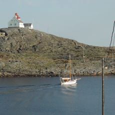
Myken Lighthouse
25.7 km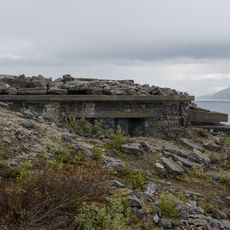
Grønsvik coastal battery
40.6 km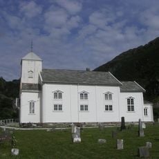
Nordvik Church
49.3 km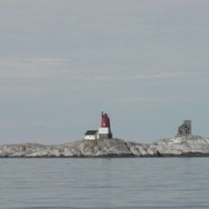
Åsvær Lighthouse
32.2 km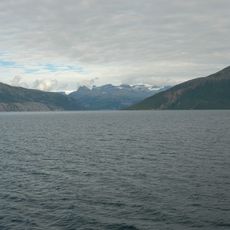
Melfjorden
50.1 km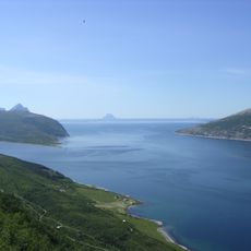
Sjona
43.9 km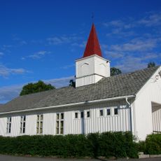
Sjona Church
61.7 km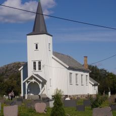
Hæstad Church
56.8 km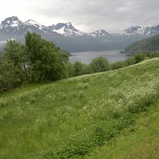
Holandsfjorden (fyord sa Noruwega)
61.9 km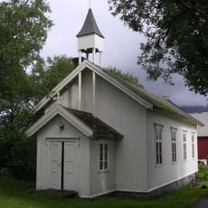
Husby Chapel
43.2 km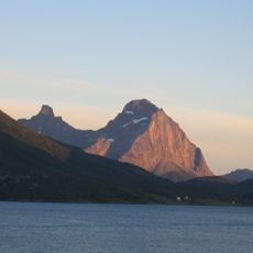
Tjongsfjorden
46.8 km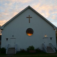
Halsa Church
62.6 km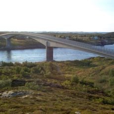
Åkviksundet Bridge
58.6 km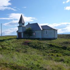
Gåsvær Chapel
57 km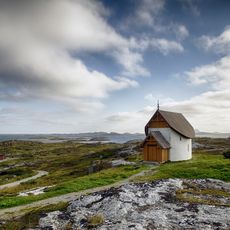
Petter Dass-kapellet
9.1 km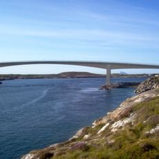
Hoholmen Bridge
60.6 km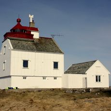
Kalsholmen Lighthouse
54.8 km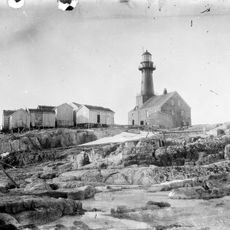
Træna Lighthouse
18.3 km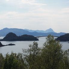
Brattsund Bridge
61 km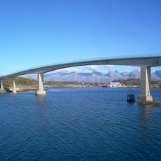
Kalvøyrevet Bridge
61.8 km
Sørfjorden
45 km
Lovunda/Lundeura
21.1 km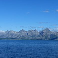
Alstenfjorden
62.5 km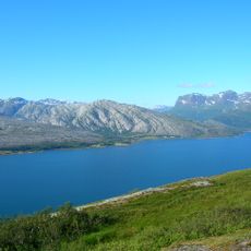
Nordsjona
57.9 km
Glein
47.1 kmReviews
Visited this place? Tap the stars to rate it and share your experience / photos with the community! Try now! You can cancel it anytime.
Discover hidden gems everywhere you go!
From secret cafés to breathtaking viewpoints, skip the crowded tourist spots and find places that match your style. Our app makes it easy with voice search, smart filtering, route optimization, and insider tips from travelers worldwide. Download now for the complete mobile experience.

A unique approach to discovering new places❞
— Le Figaro
All the places worth exploring❞
— France Info
A tailor-made excursion in just a few clicks❞
— 20 Minutes