Kanniken, Berggipfel in Norwegen
Location: Tysnes Municipality
Elevation above the sea: 240 m
GPS coordinates: 60.04671,5.68091
Latest update: August 24, 2025 19:07
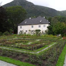
Barony Rosendal
20.4 km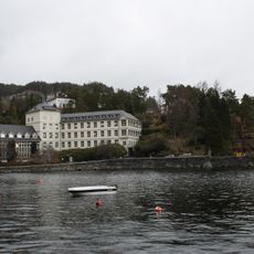
Kysthospitalet i Hagevik
21.7 km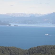
Bjørnafjorden
10 km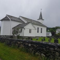
Ølve Church
8.3 km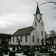
Os Church
19.5 km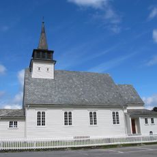
Uskedal Church
16.2 km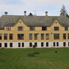
Askviknes Voksenpsykiatrisk Senter
21.9 km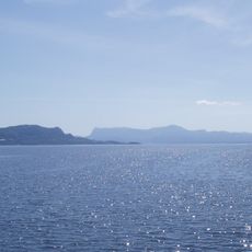
Fusafjorden
18.2 km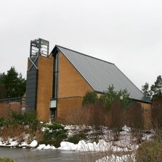
Nore Neset Church
21.1 km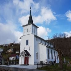
Strandvik Church
12.6 km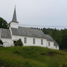
Sundvor Church
5.2 km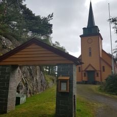
Reksteren Church
13.7 km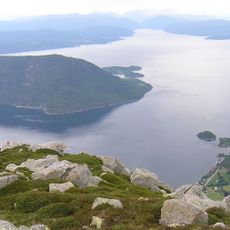
Kvinnheradsfjorden
13.4 km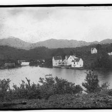
Godøysund
6.8 km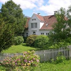
Kapteinsgården i Uskedal
16.5 km
Eikelandsfjorden
21.2 km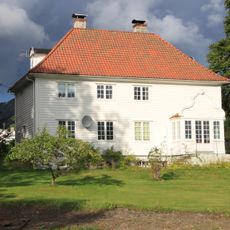
Os prestegård
19.7 km
Grunnasund bru
5 km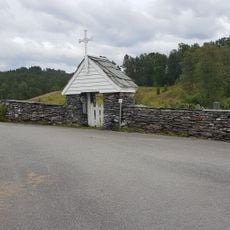
Varaldsøy Stave Church
17.5 km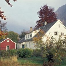
Malmanger manse
20 km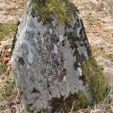
Hovland - Fetts fk. 1
3.8 km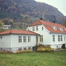
Fusa gamle prestegård
17.8 km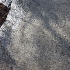
Vinnes - Fetts fk. 7, Varmeholo
13 km
Vinnes - Fetts fk. 8, Mattisbrekka
12.9 km
Skåla - Jensajordet, Lok. 1
19.2 km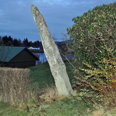
Teigland - Fetts fk. 3, Spanstegen og NB 1
9.7 km
Presthus Nicoll-huset
8.4 km
Bergspytt klebersteinsbrudd
17.9 kmReviews
Visited this place? Tap the stars to rate it and share your experience / photos with the community! Try now! You can cancel it anytime.
Discover hidden gems everywhere you go!
From secret cafés to breathtaking viewpoints, skip the crowded tourist spots and find places that match your style. Our app makes it easy with voice search, smart filtering, route optimization, and insider tips from travelers worldwide. Download now for the complete mobile experience.

A unique approach to discovering new places❞
— Le Figaro
All the places worth exploring❞
— France Info
A tailor-made excursion in just a few clicks❞
— 20 Minutes