Ormetangen, جرف في لارفيك، النرويج
Location: Larvik
Elevation above the sea: 102 m
GPS coordinates: 59.22822,9.99673
Latest update: October 19, 2025 18:50
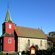
Hedrum Church
12.2 km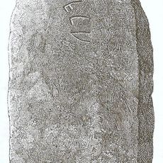
Gräberfeld von Elgesem
13.9 km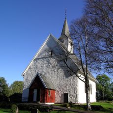
Andebu Church
13.5 km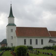
Kvelde Church
3.9 km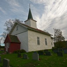
Styrvoll Church
13.5 km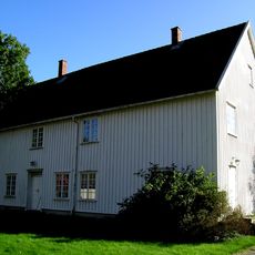
Andebu prestegård
13.8 km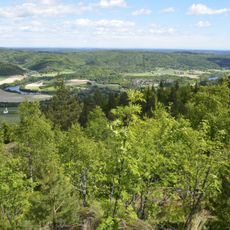
Jordstøyp
5 km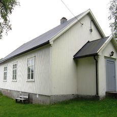
Stranda kapell
9.8 km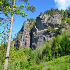
Middagskollen
7.4 km
Flisefyr og Hidalen
6 km
Brånakollane
4.6 km
Hedrum prestegård
12.3 km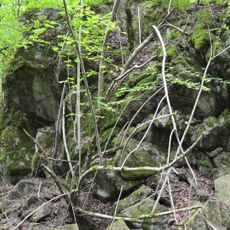
Vemannsås
10.7 km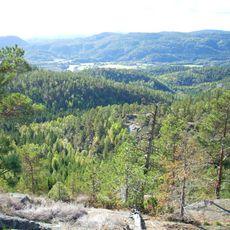
Korpen og Sagkollen
1.6 km
Kringlemyr
7.9 km
Bratthagen
8.1 km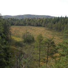
Nordre Skarsholttjønn
8.3 km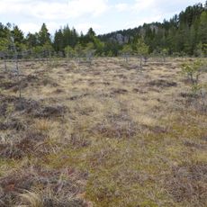
Veggermyra
10.8 km
Dalaåsen
9 km
Røysa
6.4 km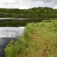
Napperødtjern
11.3 km
Fokserød
13.5 km
Løve
11 km
Storås og Spirås
13.8 km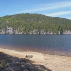
Børja
12 km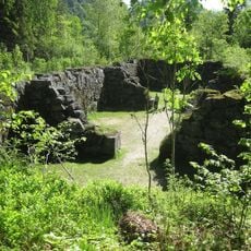
Kullkjelleren på Moholt
8.9 km
Flommerker
6 km
Geitrams
10.1 kmReviews
Visited this place? Tap the stars to rate it and share your experience / photos with the community! Try now! You can cancel it anytime.
Discover hidden gems everywhere you go!
From secret cafés to breathtaking viewpoints, skip the crowded tourist spots and find places that match your style. Our app makes it easy with voice search, smart filtering, route optimization, and insider tips from travelers worldwide. Download now for the complete mobile experience.

A unique approach to discovering new places❞
— Le Figaro
All the places worth exploring❞
— France Info
A tailor-made excursion in just a few clicks❞
— 20 Minutes