
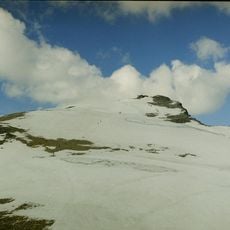
Høenden, جرف في النرويج
Location: Lom Municipality
Elevation above the sea: 1,271 m
GPS coordinates: 61.82558,8.47349
Latest update: June 2, 2025 02:58
Galdhøpiggen
22.7 km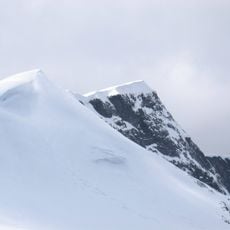
Glittertind
19.9 km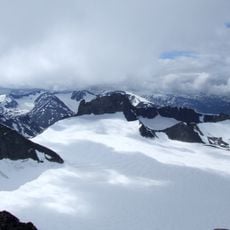
Jotunheimen National Park
22.7 km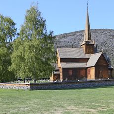
Lom Stave Church
5.1 km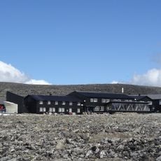
Juvasshytta
8.9 km
Hamsunstugu
18 km
Styggebrean
21.2 km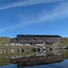
Sognefjellshytta
13.8 km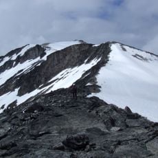
Keilhaus topp
22.6 km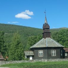
Nordberg Church
19 km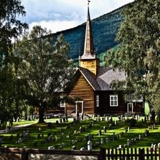
Skjåk kyrkje
7.8 km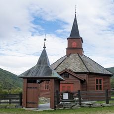
Bøverdal Church
13.6 km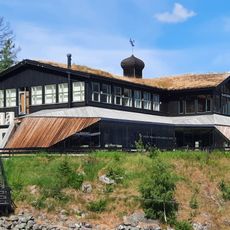
Norsk Fjellmuseum
5 km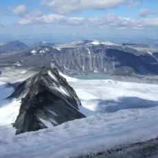
Trollsteineggje
18.9 km
Leirungshøi
13.5 km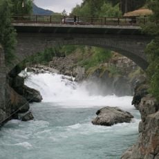
Prestfossen
5.1 km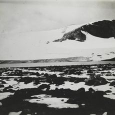
Vesljuvbrean
19.1 km
Sulheim
7.6 km
Ekre, olavstuen, olavstua, olavstugu, museum
4.9 km
Krogstad søre, Krokstad
8.3 km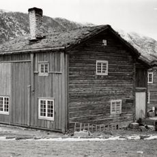
Skjåk øvre, Skjaak nordre
7.9 km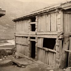
Steinsgard, Stensgård
6.6 km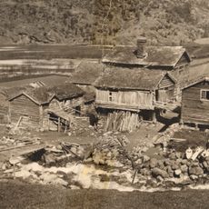
Glømsdal, øvre glømsdal, glimsdal, museum
4.8 km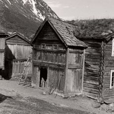
Skjæsar, skjesar
6 km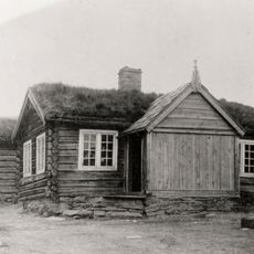
Garmo nordigard, garmo nergard nord
18 km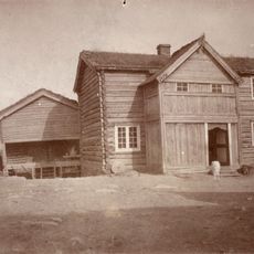
Garmo sygard, garmo negard sør
18.1 km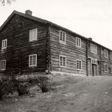
Garmo uppigard, Øvre garmo
18.1 km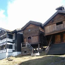
Røysheim, Røisheim
9.8 kmReviews
Visited this place? Tap the stars to rate it and share your experience / photos with the community! Try now! You can cancel it anytime.
Discover hidden gems everywhere you go!
From secret cafés to breathtaking viewpoints, skip the crowded tourist spots and find places that match your style. Our app makes it easy with voice search, smart filtering, route optimization, and insider tips from travelers worldwide. Download now for the complete mobile experience.

A unique approach to discovering new places❞
— Le Figaro
All the places worth exploring❞
— France Info
A tailor-made excursion in just a few clicks❞
— 20 Minutes