
I enden av heia, Berggipfel in Norwegen
Location: Lindesnes Municipality
Elevation above the sea: 281 m
GPS coordinates: 58.18431,7.39525
Latest update: May 28, 2025 18:19
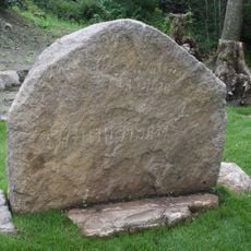
Hogganvik runestone
16.4 km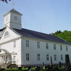
Mandal Church
17.5 km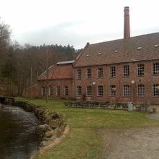
Sjølingstad Uldvarefabrik
12.8 km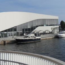
Buen kulturhus
18 km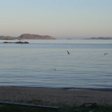
Sjøsanden
18.6 km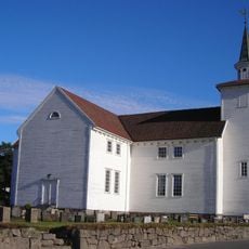
Lyngdal church
18.2 km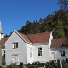
Konsmo Church
11.6 km
Valle Church
12.5 km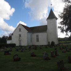
Holum Church
11.9 km
Дом Вигеланда
17.7 km
Laudal Church
9.5 km
Andorsengården
17.9 km
Kvås Church
14.5 km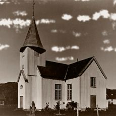
Øyslebø Church
9.5 km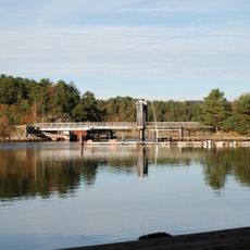
Skogsfjorden
15.7 km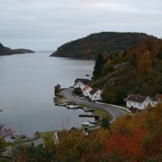
Snigsfjorden
18.1 km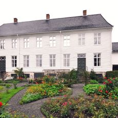
Mandal museum
17.9 km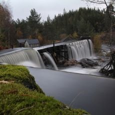
Bergstølsaga
6.7 km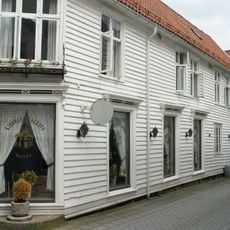
Kjøbmandsgaarden, Mandal
17.7 km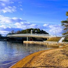
Bankebroa
18.4 km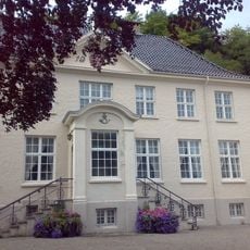
Mandal gamle postgård
17.8 km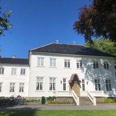
Hald
16.8 km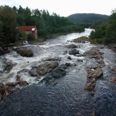
Melhusfossen
7.3 km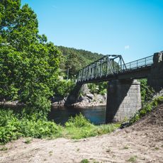
Skjævesland bridge
9.7 km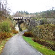
Gjengesti Bridge
17.2 km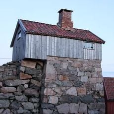
KALKOVNEN I SNIG
17 km
SKRIVERGÅRDEN
17.9 km
Vatnehuset
17.8 kmReviews
Visited this place? Tap the stars to rate it and share your experience / photos with the community! Try now! You can cancel it anytime.
Discover hidden gems everywhere you go!
From secret cafés to breathtaking viewpoints, skip the crowded tourist spots and find places that match your style. Our app makes it easy with voice search, smart filtering, route optimization, and insider tips from travelers worldwide. Download now for the complete mobile experience.

A unique approach to discovering new places❞
— Le Figaro
All the places worth exploring❞
— France Info
A tailor-made excursion in just a few clicks❞
— 20 Minutes