
Seturnuten, Berggipfel in Norwegen
Location: Ullensvang Municipality
Elevation above the sea: 900 m
GPS coordinates: 60.42458,6.78028
Latest update: May 16, 2025 23:01
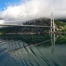
Hardanger Bridge
6.7 km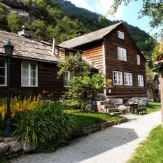
Agatunet
16.9 km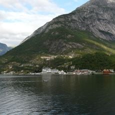
Eidfjorden
12.9 km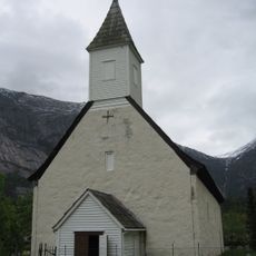
Old Eidfjord Church
16.5 km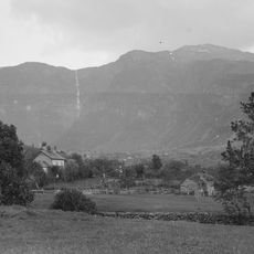
Skrikjofossen
14.2 km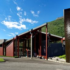
Norwegian Nature Centre Hardanger
19.5 km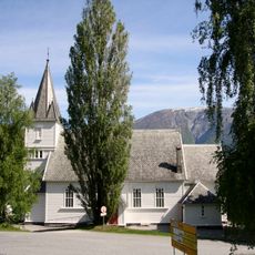
Utne Church
8.7 km
Eidfjord Church
16.5 km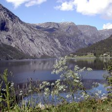
Simadal Fjord
18.5 km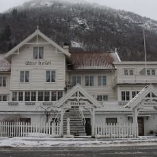
Utne Hotel
8.7 km
Osafjord
10.7 km
Granvinsfjorden
9.6 km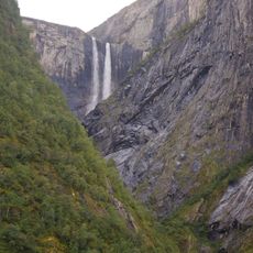
Vedalsfossen
19.3 km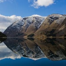
Ulvikafjorden
15.6 km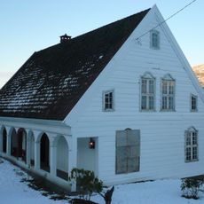
Hesthamar skrivargard
12.1 km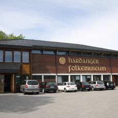
Hardanger Folkemuseum
8.9 km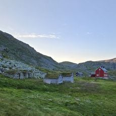
Stavali
13.2 km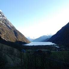
Osafjorden
12.5 km
Søtefossen
10.5 km
Ulvik stavkirke
18.4 km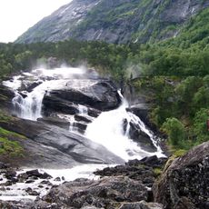
Tveitafossen
8.3 km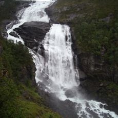
Nyastølfossen
8.4 km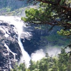
Nykkjesøyfossen
9.1 km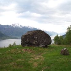
Håhaugsteinen
10.2 km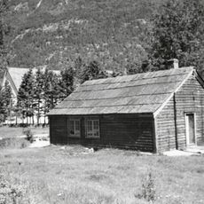
Borgstova i Kinsarvik
6.3 km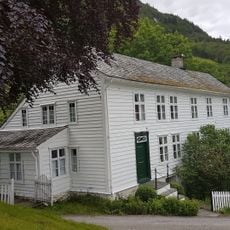
Broch-huset
8.7 km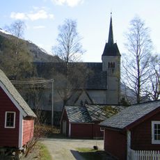
Ullensvang manse
13.7 km
ESPELAND bnr.4
18.6 kmReviews
Visited this place? Tap the stars to rate it and share your experience / photos with the community! Try now! You can cancel it anytime.
Discover hidden gems everywhere you go!
From secret cafés to breathtaking viewpoints, skip the crowded tourist spots and find places that match your style. Our app makes it easy with voice search, smart filtering, route optimization, and insider tips from travelers worldwide. Download now for the complete mobile experience.

A unique approach to discovering new places❞
— Le Figaro
All the places worth exploring❞
— France Info
A tailor-made excursion in just a few clicks❞
— 20 Minutes