Smiefjellet
Location: Sirdal
Elevation above the sea: 658 m
GPS coordinates: 58.79454,6.84505
Latest update: November 1, 2025 20:32

Dorgefossen
7.8 km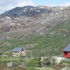
Blåfjellenden
23.5 km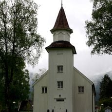
Tonstad church
16 km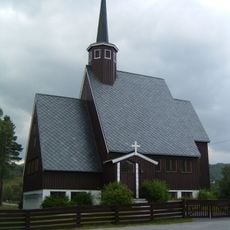
Kvævemoen Chapel
16.9 km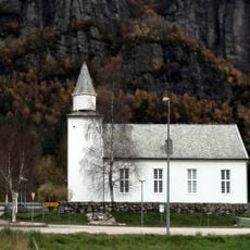
Lunde church
5 km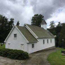
Haughom Chapel
24.4 km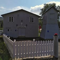
Knaben kapell
19.7 km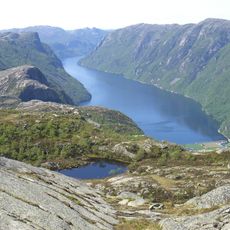
Frafjordheiane
26.3 km
Haughom
20.9 km
Neset (Knabeneset)
13.1 km
Sigbjørn K. Tonstads hus
16.2 km
Stora Holmavatnet
20.1 km
Ousdal
5.3 km
Holtoreet
25 km
#finnhodet
19.7 km
Work of art
16.3 km
Work of art, sculpture
7 km
Dargefoss
7.8 km
Scenic viewpoint
20.5 km
Scenic viewpoint
13.4 km
Scenic viewpoint
8.6 km
Scenic viewpoint
26.3 km
Scenic viewpoint
26.1 km
Scenic viewpoint
26.2 km
Scenic viewpoint
23.5 km
Scenic viewpoint, rock, rock
17.9 km
Rock, scenic viewpoint, rock
17.9 km
Finsådammen
16.7 kmReviews
Visited this place? Tap the stars to rate it and share your experience / photos with the community! Try now! You can cancel it anytime.
Discover hidden gems everywhere you go!
From secret cafés to breathtaking viewpoints, skip the crowded tourist spots and find places that match your style. Our app makes it easy with voice search, smart filtering, route optimization, and insider tips from travelers worldwide. Download now for the complete mobile experience.

A unique approach to discovering new places❞
— Le Figaro
All the places worth exploring❞
— France Info
A tailor-made excursion in just a few clicks❞
— 20 Minutes