
Trolldalsbråtta, جرف في نومه، النرويج
Location: Nome Municipality
Elevation above the sea: 268 m
GPS coordinates: 59.18561,9.26714
Latest update: June 1, 2025 12:30
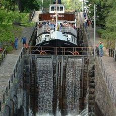
Telemark Canal
10.9 km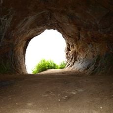
Mikaelshulen
12.5 km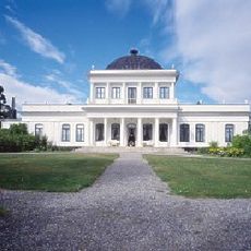
Ulefos Hovedgaard
11.4 km
Vrangfoss Locks
13.4 km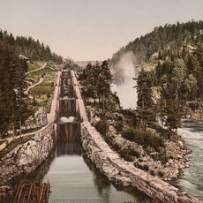
Bandak–Norsjø Canal
10.9 km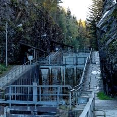
Løveid Locks
14.8 km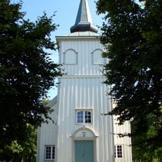
Solum Church
16.7 km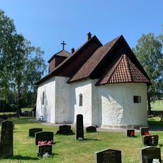
Romnes Church
12.5 km
Gulset Church
17.5 km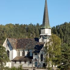
Skotfoss Church
15 km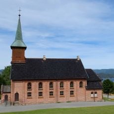
Holla Church
10.6 km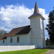
Helgen Church
9.2 km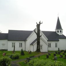
Drangedal Church
15.1 km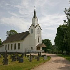
Lunde Church
15.6 km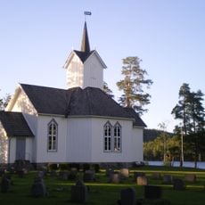
Kilebygda Church
12.1 km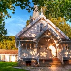
Landsmarka kapell
9.1 km
Drangedal bygdetun
16.2 km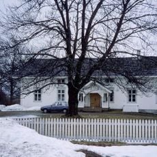
Holla prestegård
9.8 km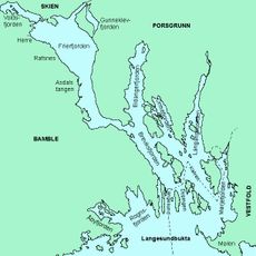
Vollsfjorden
17.2 km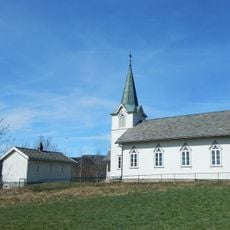
Valebø Church
14.6 km
Øvre Verket
10.9 km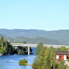
Ulefoss Bridge
11.1 km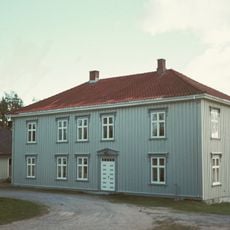
Solum Parsonage
16.7 km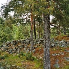
Muren
5.5 km
Lille Ulefoss (Ulefos Lille, Lille Ulefos)
10.8 km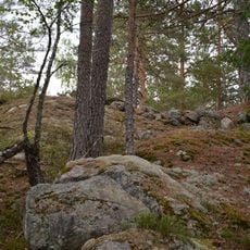
Grinitjønn
9.6 km
Øvre Verket
10.9 km
VOLD - BOLVIG GAMLE JERNVERK
15.1 kmReviews
Visited this place? Tap the stars to rate it and share your experience / photos with the community! Try now! You can cancel it anytime.
Discover hidden gems everywhere you go!
From secret cafés to breathtaking viewpoints, skip the crowded tourist spots and find places that match your style. Our app makes it easy with voice search, smart filtering, route optimization, and insider tips from travelers worldwide. Download now for the complete mobile experience.

A unique approach to discovering new places❞
— Le Figaro
All the places worth exploring❞
— France Info
A tailor-made excursion in just a few clicks❞
— 20 Minutes