Ringi-Kastet, جرف في باروم، النرويج
Location: Bærum Municipality
Elevation above the sea: 216 m
GPS coordinates: 59.89568,10.43025
Latest update: October 19, 2025 17:14
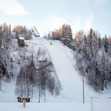
Skuibakken
3.5 km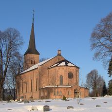
Bryn Church
4.3 km
Sem hovedgård, Asker
4.4 km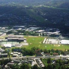
Bærum idrettspark
4.3 km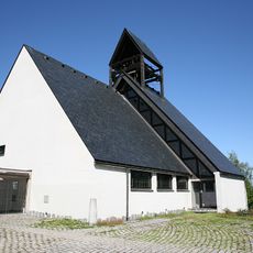
Holmen Church
4.3 km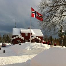
Gupu
2 km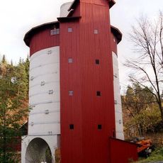
Slependen kalkovn
4.1 km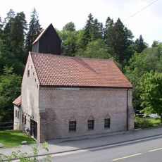
Franzefoss kalkmølle
3.7 km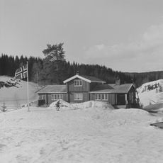
Furuholmen
1.9 km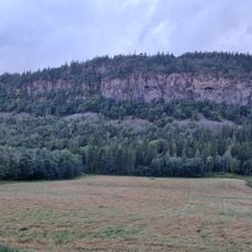
Ramsåsen
781 m
Vinsvoll-loftet
2.3 km
Vassmyråsen
2.1 km
Nordre Skaugumsåsen
3.6 km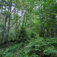
Trollmyr
760 m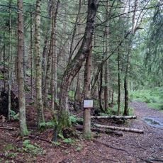
Ringiåsen
1 km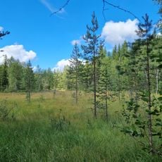
Tuemyr nature reserve
2.6 km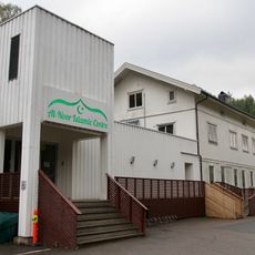
Al-Noor Islamic Centre
3.1 km
Skaugumsåsen og Åstad
4 km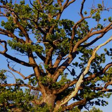
Tanum
2.7 km
Urds vei
4.1 km
Norneveien, Bærum
4 km
Valkyrieveien
4.3 km
Vøyen østre (Wøien)
3.6 km
Bjerketun
2.1 km
Work of art
2.9 km
Work of art, sculpture
4.4 km
Work of art, sculpture
4.3 km
Fole i trav
4.3 kmReviews
Visited this place? Tap the stars to rate it and share your experience / photos with the community! Try now! You can cancel it anytime.
Discover hidden gems everywhere you go!
From secret cafés to breathtaking viewpoints, skip the crowded tourist spots and find places that match your style. Our app makes it easy with voice search, smart filtering, route optimization, and insider tips from travelers worldwide. Download now for the complete mobile experience.

A unique approach to discovering new places❞
— Le Figaro
All the places worth exploring❞
— France Info
A tailor-made excursion in just a few clicks❞
— 20 Minutes