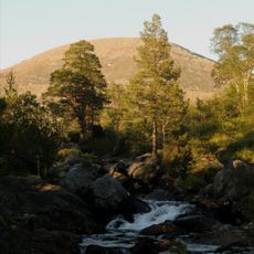
Sagfossen, Wasserfall in Norwegen
Location: Snåsa Municipality
GPS coordinates: 64.16587,12.39376
Latest update: October 30, 2025 06:10
Blåfjella–Skjækerfjella National Park
35.1 km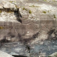
Bølareinen rock carvings of Steinkjer
22.2 km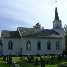
Kvam Church
31.9 km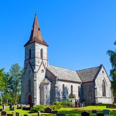
Snåsa Church
8.8 km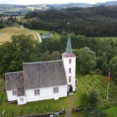
Skei Church
40.5 km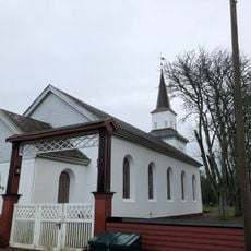
For Church
36.1 km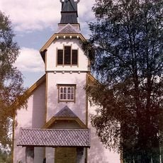
Bodom Church
31.6 km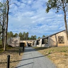
Saemien Sijte
11 km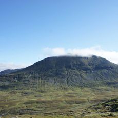
Skäckerfjällen Nature Reserve
38.3 km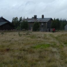
Gressåmoen
33.4 km
Bølamannen
22.2 km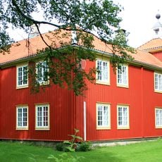
Snåsa prestegård
8.7 km
Bergsåsen
9.7 km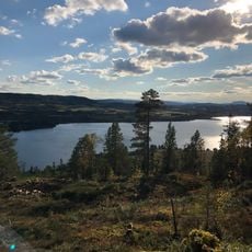
Klingsundet
34 km
Hop-Saiwo / Skjækerhatten
17.5 km
Bøla - Bøla III (Elgen)
22.1 km
Skjevlo nedre
38.2 km
Sandmoen
9.1 km
Horjem
11.3 km
Bøla - Bøla IV (A: Fuglefig., B: Skiløper)
22.2 km
Storhusfjellet
33.5 km
Sanddøla bru
32 km
Tuva
32.6 km
Norges geografiske midtpunkt
20 km
Mokk Gruver
25.7 km
Scenic viewpoint
37.4 km
Scenic viewpoint
31.7 km
Scenic viewpoint
32 kmReviews
Visited this place? Tap the stars to rate it and share your experience / photos with the community! Try now! You can cancel it anytime.
Discover hidden gems everywhere you go!
From secret cafés to breathtaking viewpoints, skip the crowded tourist spots and find places that match your style. Our app makes it easy with voice search, smart filtering, route optimization, and insider tips from travelers worldwide. Download now for the complete mobile experience.

A unique approach to discovering new places❞
— Le Figaro
All the places worth exploring❞
— France Info
A tailor-made excursion in just a few clicks❞
— 20 Minutes