
Rotfossen, Wasserfall in Norwegen
Location: Lier
Elevation above the sea: 286 m
GPS coordinates: 59.86270,10.13338
Latest update: April 28, 2025 23:32
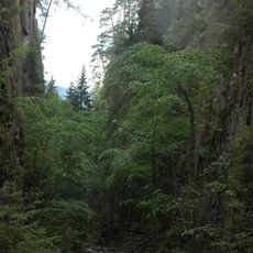
Kjøsterud canyon
10.5 km
Hoenskatten
11.5 km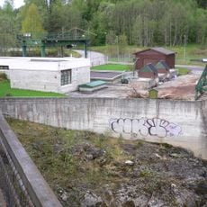
Døvikfoss power station
12.8 km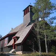
Tverken sportskapell
8.4 km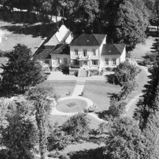
Hotvet gård
12.7 km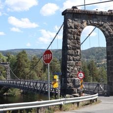
Geithus bru
11.8 km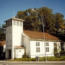
Landfalløya kapell
12.7 km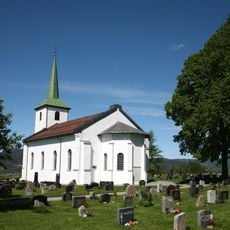
Tranby Church
9 km
Solbergfjellet
11.5 km
Åmot Church
12 km
Sjåstad Church
4.7 km
Bragernesåsen batteri
12.8 km
Bacheparken
12.7 km
Bergh-Berskaug
12.3 km
Steinkjerringa
8.7 km
Hovdehytta
12.7 km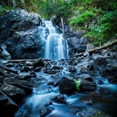
Asdøljuvet naturreservat
9.9 km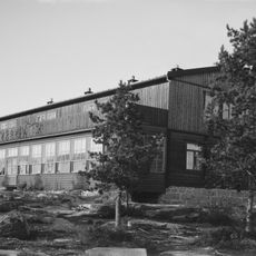
Tverken
8.3 km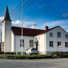
Lierskogen bedehuskapell
12.2 km
Katfoss
12.2 km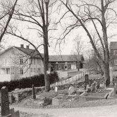
Heggen prestegård
11.5 km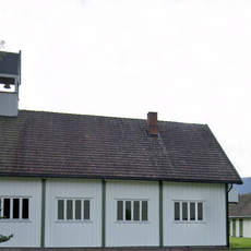
Solberg kapell
11.5 km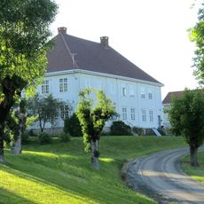
Frogner prestegård
10.5 km
Valbrottveien 17
12.1 km
Gjellebekkmyrene
10.6 km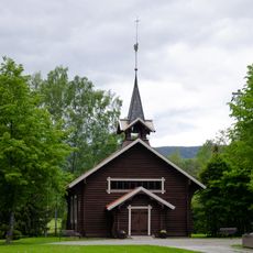
Åssiden chapel
11.5 km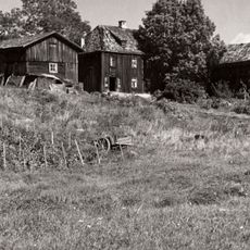
Anker-Berskaug
12.5 km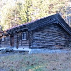
Toenstua (Ton), Friluftsmuseet
12.4 kmReviews
Visited this place? Tap the stars to rate it and share your experience / photos with the community! Try now! You can cancel it anytime.
Discover hidden gems everywhere you go!
From secret cafés to breathtaking viewpoints, skip the crowded tourist spots and find places that match your style. Our app makes it easy with voice search, smart filtering, route optimization, and insider tips from travelers worldwide. Download now for the complete mobile experience.

A unique approach to discovering new places❞
— Le Figaro
All the places worth exploring❞
— France Info
A tailor-made excursion in just a few clicks❞
— 20 Minutes