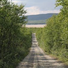
Lakšjåkgårŋi, Wasserfall in Norwegen
Location: Tana Municipality
GPS coordinates: 70.09668,27.43999
Latest update: November 19, 2025 20:24
Nivajoki–Alajalve Museum Road
6.8 km
Strömstadin rauhan rajakivet
16.7 km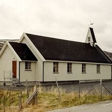
Sirbma kapell
8.9 km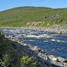
Storfossen
9.4 km
Lákšjohgorži
0 m
Bildanguoika
6.4 km
Buollanguoika
6.5 km
Suveguoika
10.8 km
Veahčatguoika
15.2 km
Duškanguoika
9.3 km
Linnjáguoika
5.8 km
Giedderiddu
17 km
Rohtuguoika
8.6 km
Čohkkángeađgi
17.2 km
Ciikojohgoržžit
9.2 km
Geavgŋoaiguoika
5.7 km
Ciikujåkgårŋit
9.2 km
Sirbmá
8.5 km
Sirbma
9.4 km
Sirbma
8.9 km
Varsi, Sirbmá
8.7 km
Kuninkaan Kivi
16.7 km
Esihistoriallinen asuinpaikka
10.5 km
Archaeological site
8.8 km
Esihistoriallinen asuinpaikka
10.4 km
Esihistoriallinen asuinpaikka
7.5 km
Vuollegeavŋŋis - Storfossen - Isokoski
10.7 km
Ciikojohgoržžit
9.2 kmReviews
Visited this place? Tap the stars to rate it and share your experience / photos with the community! Try now! You can cancel it anytime.
Discover hidden gems everywhere you go!
From secret cafés to breathtaking viewpoints, skip the crowded tourist spots and find places that match your style. Our app makes it easy with voice search, smart filtering, route optimization, and insider tips from travelers worldwide. Download now for the complete mobile experience.

A unique approach to discovering new places❞
— Le Figaro
All the places worth exploring❞
— France Info
A tailor-made excursion in just a few clicks❞
— 20 Minutes