
Vrangfoss, Wasserfall in Norwegen
Location: Notodden Municipality
Elevation above the sea: 556 m
GPS coordinates: 59.75141,9.33481
Latest update: August 24, 2025 04:23
Kongsberg Silverworks
19.9 km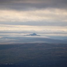
Jonsknuten
13.8 km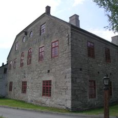
Norwegian Mining Museum
20.1 km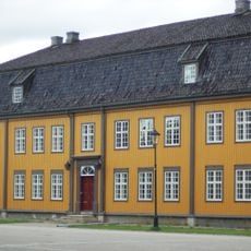
Kongsberg School of Mines
19.9 km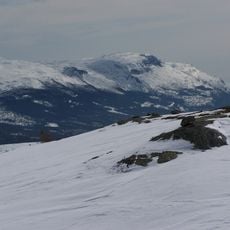
Bletoppen
12 km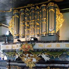
Kongsberg Gloger organ
19.9 km
Kongsberg Skiing Museum
20.1 km
Krona
19.9 km
Eriksbu
16.7 km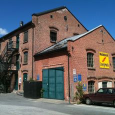
EnergiMølla
20.1 km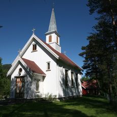
Jondalen Church
11.4 km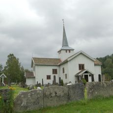
Svene Church
14.8 km
The Silver Mines
20.1 km
Nybrua
20 km
Sportskapellet på Ble
4.4 km
Lisleherad stavkirke
15.7 km
Festivalgata (Kongsberg Jazzfestival)
19.9 km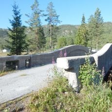
Løka Old Bridge
6 km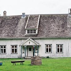
Flesberg rectory
13.8 km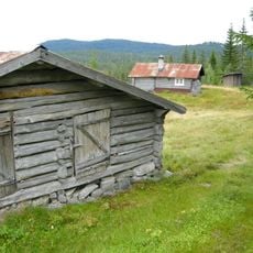
Bliasetra
13.7 km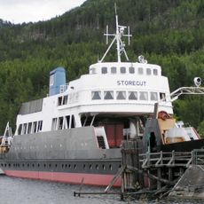
M/F Storegut
17.5 km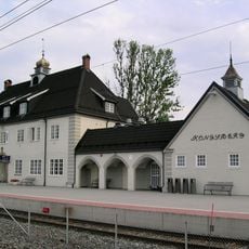
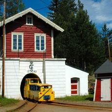
Kongsberg jernbanestasjon - Sidelinjen Hokksund - Hjuksebø
19.8 km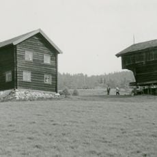
Bolkesjø Uppigard
4.7 km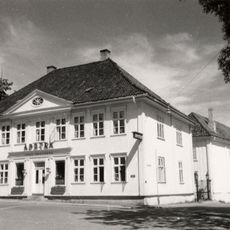
Apoteket mynten (apoteket på vestsiden)
20.1 km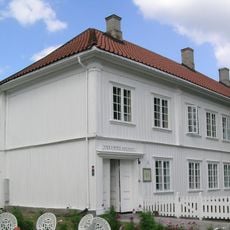
Naufgården (Bøssemaker Jørgensens tidl. gård)
19.9 km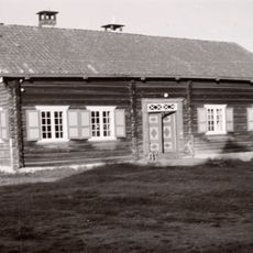
Høymyr søre (Høimyr søre)
12.5 km
Lassedalen bru
20 km
Vik øvre
10.7 kmReviews
Visited this place? Tap the stars to rate it and share your experience / photos with the community! Try now! You can cancel it anytime.
Discover hidden gems everywhere you go!
From secret cafés to breathtaking viewpoints, skip the crowded tourist spots and find places that match your style. Our app makes it easy with voice search, smart filtering, route optimization, and insider tips from travelers worldwide. Download now for the complete mobile experience.

A unique approach to discovering new places❞
— Le Figaro
All the places worth exploring❞
— France Info
A tailor-made excursion in just a few clicks❞
— 20 Minutes