
Nedre Fallet, Wasserfall in Norwegen
Location: Sør-Fron Municipality
GPS coordinates: 61.59365,9.92148
Latest update: July 30, 2025 09:18
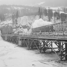
Randklev Railway Bridge
14.4 km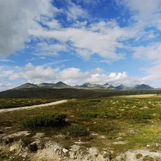
Rondane National Park
28.8 km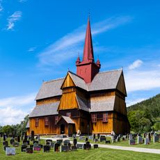
Ringebu Stave Church
16.3 km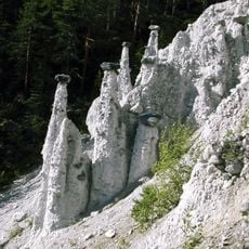
Kvitskriuprestan
29.5 km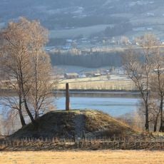
Dale-Gudbrand's farm
5.5 km
Pillarguritoppen
27.9 km
Sygard Grytting
2.5 km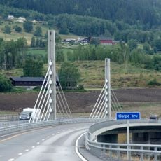
Harpe Bridge
3.7 km
Fron badeland
3.7 km
Espedalen fjellkirke
28.7 km
Venabygd fjellkapell
11.1 km
Ringebu prestegård
16.2 km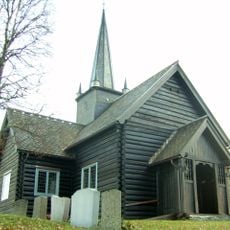
Skåbu Church
27.8 km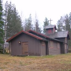
Sjoa kapell
22 km
Skei fjellkirke
28.9 km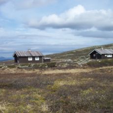
Jammerdalsbu
22.8 km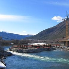
Lågen bru
15 km
Otta bykirke
28.4 km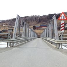
Hundorp Bridge
5.9 km
Ringebu ungdomssenter
13.4 km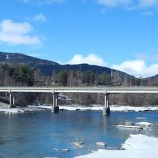
Byrbrua
9.6 km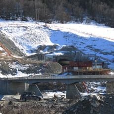
Kvambrua
14.9 km
Risdal nordre, nordre risdal
26.8 km
Hove
5.3 km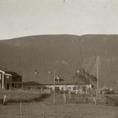
Sør-Fron prestegård
4.1 km
Vik
13.1 km
Klomstad Skottelåven
13.8 km
Megarden, megaarden
24.9 kmReviews
Visited this place? Tap the stars to rate it and share your experience / photos with the community! Try now! You can cancel it anytime.
Discover hidden gems everywhere you go!
From secret cafés to breathtaking viewpoints, skip the crowded tourist spots and find places that match your style. Our app makes it easy with voice search, smart filtering, route optimization, and insider tips from travelers worldwide. Download now for the complete mobile experience.

A unique approach to discovering new places❞
— Le Figaro
All the places worth exploring❞
— France Info
A tailor-made excursion in just a few clicks❞
— 20 Minutes