
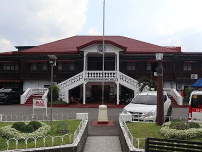
Guinobatan, municipality of the Philippines in the province of Albay
Location: Albay
Elevation above the sea: 169 m
Shares border with: Ligao, Camalig, Jovellar, Pio Duran
Website: http://guinobatan.gov.ph
GPS coordinates: 13.18333,123.60000
Latest update: April 5, 2025 05:51
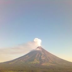
Mayon Volcano
12.3 km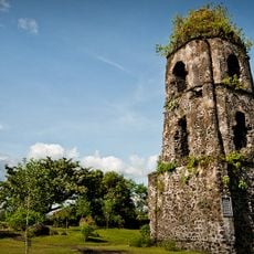
Cagsawa Ruins
11.1 km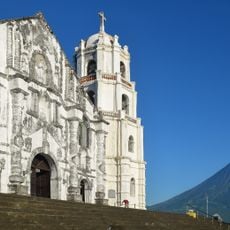
Daraga Church
12.7 km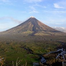
Mayon Volcano Natural Park
12.3 km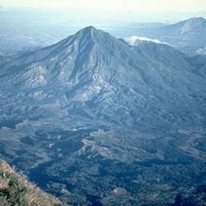
Mount Masaraga
14.1 km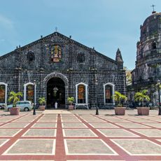
Tabaco Church
24.1 km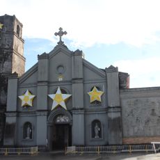
Buhi Church
29.2 km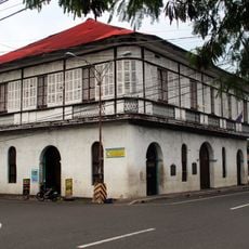
Smith, Bell and Company House
24.3 km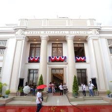
Tabaco City Hall
24.2 km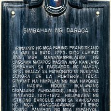
Church of Daraga historical marker
12.7 km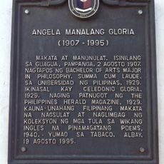
Angela Manalang Gloria historical marker
24.3 km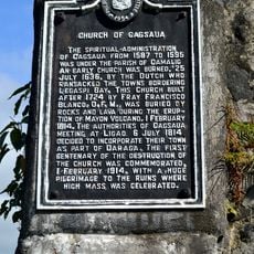
Church of Cagsaua historical marker
11.1 km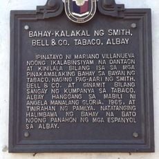
Commercial Building of Smith, Bell & Co. Tabaco, Albay historical marker
24.3 km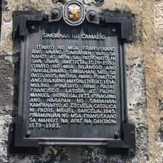
Church of Camalig historical marker
5.9 km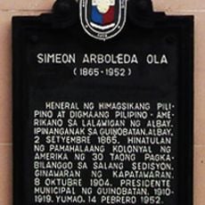
Simeon Arboleda Ola historical marker
823 m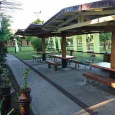
La Edley
14.7 km
General Jose Ignacio Paua historical marker
14.9 km
Bicol Regional Training and Teaching Hospital historical marker
14.1 km
Potenciano V. Gregorio Sr. historical marker
20.1 km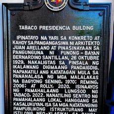
Tabaco Presidencia Building historical marker
24.2 km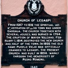
Church of Legaspi historical marker
17.1 km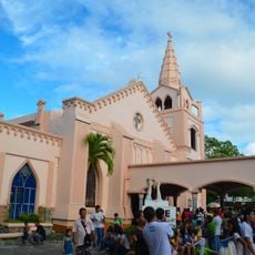
Legazpi Church
17.1 km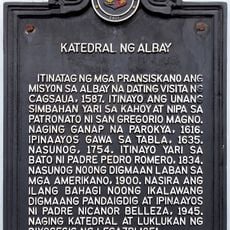
Cathedral of Albay historical marker
15.3 km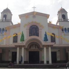
Iriga Church
33.3 km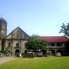
Camalig Church
5.9 km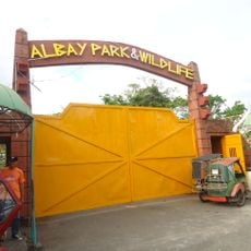
Albay Park and Wildlife
14.4 km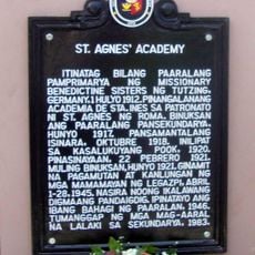
St. Agnes Academy historical marker
16.1 km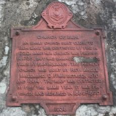
Church of Buhi historical marker
29.2 kmReviews
Visited this place? Tap the stars to rate it and share your experience / photos with the community! Try now! You can cancel it anytime.
Discover hidden gems everywhere you go!
From secret cafés to breathtaking viewpoints, skip the crowded tourist spots and find places that match your style. Our app makes it easy with voice search, smart filtering, route optimization, and insider tips from travelers worldwide. Download now for the complete mobile experience.

A unique approach to discovering new places❞
— Le Figaro
All the places worth exploring❞
— France Info
A tailor-made excursion in just a few clicks❞
— 20 Minutes