Philippines

Log in to your account

AroundUs is a community-driven map of interesting places, built by curious explorers like you. It grows with every review, story, and photo you share.
Connect to save your favorite spots, contribute locations, and create personalized routes.
By continuing, you accept our Terms and Conditions and our Privacy Policy
Add to collection
Map
Suggest a change
Share

Philippines, Archipelagic state in Southeast Asia.

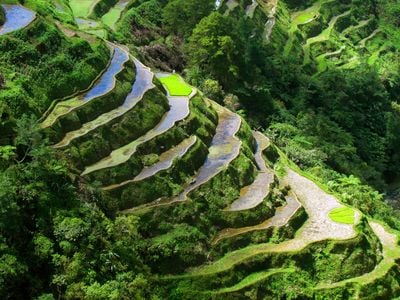
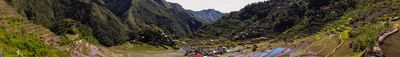
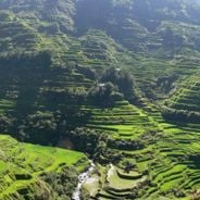
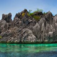
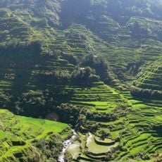
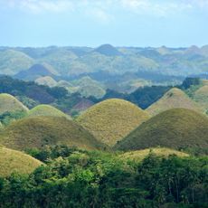
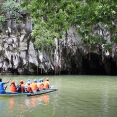
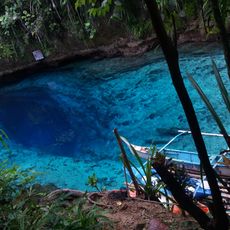
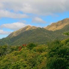
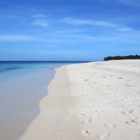
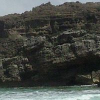
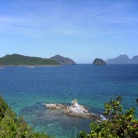
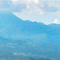
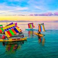
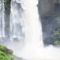
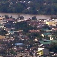
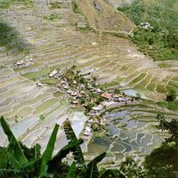
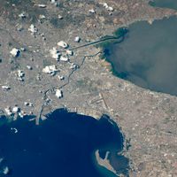
The Philippines is an island nation in Southeast Asia spreading across more than 7600 islands between the South China Sea and the Pacific Ocean, with Manila as its capital. The terrain includes tropical rainforests, coral reefs, active volcanoes and terraced rice fields distributed across different climate zones.

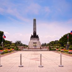
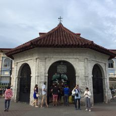
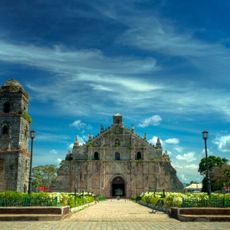
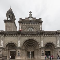
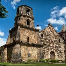
Spanish colonizers arrived on the islands in 1565 under Miguel López de Legazpi and remained until the revolution of 1896. Following the Spanish-American War, the United States administered the territory until independence was granted in 1946 after Japanese occupation during World War II.

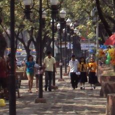
Visitors notice jeepneys decorated with chrome ornaments and religious figures navigating streets alongside tricycles carrying passengers through narrow alleys. Sari-sari stores sit at street corners selling small portions of goods in plastic sachets while neighbors gather on porches for afternoon conversation.

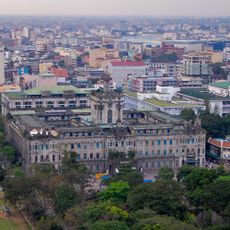
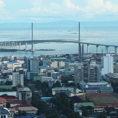
The country divides into three main geographic areas: Luzon in the north, Visayas in the center, and Mindanao in the south, each containing several administrative regions. International airports operate in Manila, Cebu and Davao with connections to regional hubs on smaller islands.

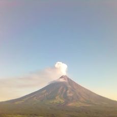
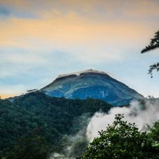
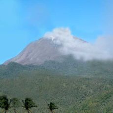
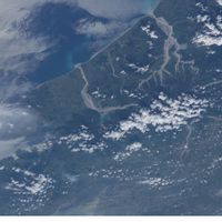
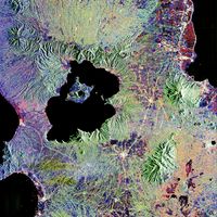
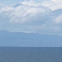
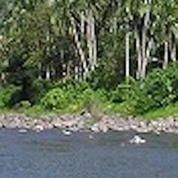
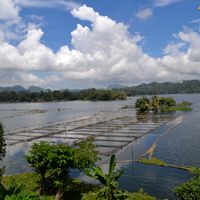
Taal Volcano sits on an island within a lake that formed on a larger island, creating an unusual geological layering. Fishing boats cross the lake bringing visitors to the inner volcanic island where steam rises visibly from the crater.

Inception: 1565

Capital city: Manila

Part of: Southeast Asia

Shares border with: People's Republic of China, Indonesia, Japan, Malaysia, Palau, Taiwan

Address: Philippines

Website: https://gov.ph

GPS coordinates: 12.75035,122.73121

Latest update: December 4, 2025 17:20

Natural landmarks of the Philippines for photography

The Philippines display rice terraces in Ifugao mountains, coral reefs in Tubbataha National Park, and cave systems in Samar. Mayon Volcano shows its geometric shape, while Chocolate Hills of Bohol extend across the landscape. White sand beaches line the coasts of Boracay and Palawan.

The Most Beautiful Sites of the Islands in the Philippines

The islands of the Philippines display exceptional geographical diversity. Palawan, Siargao, Boracay, Bohol, and Cebu offer beaches, coral reefs, clear water lagoons, and geological formations. The marine national parks host a rich marine fauna. Historical sites and terraced rice paddies represent cultural heritage. Volcanoes, waterfalls, and caves illustrate the variety of the archipelago's natural landscapes.

Reviews

Visited this place? Tap the stars to rate it and share your experience / photos with the community! Try now! You can cancel it anytime.

« Philippines - Archipelagic state in Southeast Asia » is provided by Around Us (aroundus.com). Images and texts are derived from Wikimedia project under a Creative Commons license. You are allowed to copy, distribute, and modify copies of this page, under the conditions set by the license, as long as this note is clearly visible.

Discover hidden gems everywhere you go!

From secret cafés to breathtaking viewpoints, skip the crowded tourist spots and find places that match your style. Our app makes it easy with voice search, smart filtering, route optimization, and insider tips from travelers worldwide. Download now for the complete mobile experience.

Around Us App Screenshot

A unique approach to discovering new places

Le Figaro

All the places worth exploring

France Info

A tailor-made excursion in just a few clicks

20 Minutes