Negros Island Region, Administrative region in Negros Island, Philippines
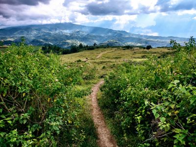
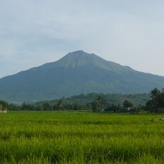
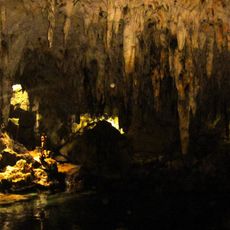
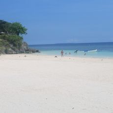
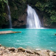
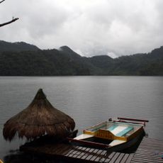
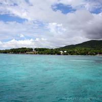
The Negros Island Region sprawls across multiple provinces with varying landscapes and geography. Mountain ranges alternate with flatlands, and the territory encompasses both western and eastern coastal areas that shape its physical character.
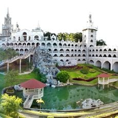
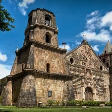
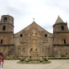
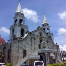
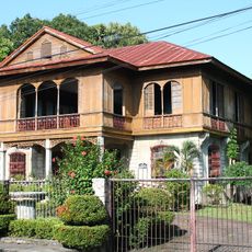
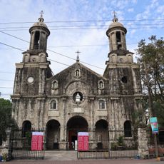
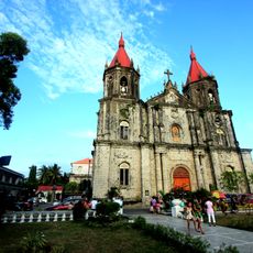
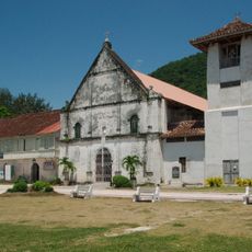
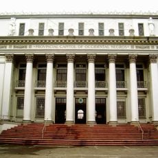
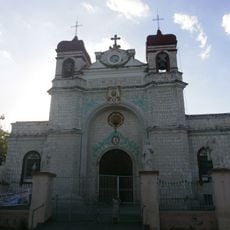
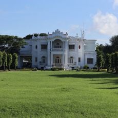
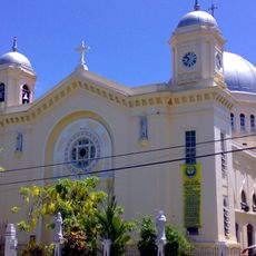
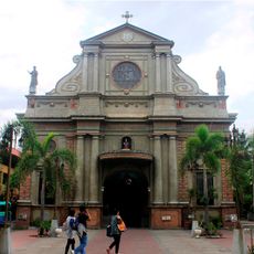
Spanish colonizers arrived in 1565 and shaped the territory's development for centuries through administrative and cultural influence. This long colonial period left marks on architecture, religion, and society that remain visible in modern times.
Two main language groups shape daily life here: Hiligaynon speakers dominate the west, while Cebuano speakers fill the east. This linguistic divide influences local traditions, celebrations, and how communities express their identity through storytelling and customs.
Two international airports provide air connections for entering and moving around the region easily. A developed road network connects the main cities, making overland travel between different areas straightforward for visitors.
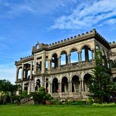
The area is known for extensive sugar cane plantations that have long shaped its economy and dominated the landscape. This agricultural tradition runs deep in local communities and influences many aspects of regional life and work.
Location: Philippines
Inception: May 29, 2015
Capital city: Bacolod
GPS coordinates: 10.00000,123.00000
Latest update: December 6, 2025 22:01
Simala Shrine
65.8 km
Kanlaon Volcano
48 km
Archdiocesan Shrine of Patrocinio de Maria Santisima
66.8 km
Kawasan Falls
46.6 km
Archdiocesan Shrine of San Miguel Arcangel
67.9 km
Kabankalan Cathedral
20.3 km
San Miguel Arcangel Parish Church, Argao, Cebu
67.9 km
Cataratas de Kawasan
46.7 km
Parco naturale del monte Kanla-on
48.6 km
Mantayupan Falls
58.3 km
Dalaguete Church
64.4 km
Pescador Island Lighthouse
38.6 km
Malabuyoc Church
52.7 km
Graceland
57.9 km
Dumanjug Church
48.1 km
Republica de Negros historical marker
62.5 km
Church of Saint William of Aquitaine historical marker
64.4 km
Balay ni Tan Juan
62.2 km
Juan Anacleto Araneta historical marker
62.2 km
Church of Boljoon historical marker
66.8 km
La Carlota City Hall
48.3 km
Church of Dumanjug historical marker
48.1 km
La Carlota Church historical marker
48.2 km
Manuel Y. Torres Memorial Coliseum and Cultural Center
62.5 km
Ishiwata Bath House historical marker
58.1 km
Church of Malabuyoc historical marker
52.6 km
Ishiwata Bath House
58.1 km
Church of Samboan historical marker
62.3 kmVisited this place? Tap the stars to rate it and share your experience / photos with the community! Try now! You can cancel it anytime.
Discover hidden gems everywhere you go!
From secret cafés to breathtaking viewpoints, skip the crowded tourist spots and find places that match your style. Our app makes it easy with voice search, smart filtering, route optimization, and insider tips from travelers worldwide. Download now for the complete mobile experience.
A unique approach to discovering new places❞
— Le Figaro
All the places worth exploring❞
— France Info
A tailor-made excursion in just a few clicks❞
— 20 Minutes