Enable Location

We need your location to show you interesting places around you

Discover nearby places

Find interesting locations and hidden gems around you

Precise directions

Get accurate directions and distances to places

Your location is never shared with other users. It's only used when you tap the location button.

Bacolod

Log in to your account

Start exploring — it's free

Trusted by 61,557 travelers worldwide

Continue with Google
Continue with Apple
or

We will send you a code to connect

By continuing, you accept our Terms and Conditions and our Privacy Policy

Check your inbox

We've sent a pincode in your inbox. Please enter the code below.

Bacolod

Bacolod, Urban center in Western Visayas, Philippines

Description

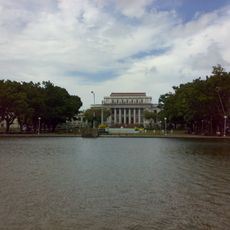
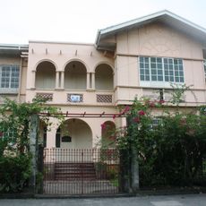
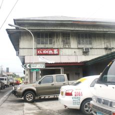
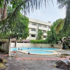
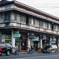
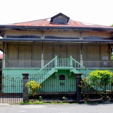
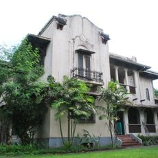
Bacolod is a highly urbanized city in Negros Occidental that extends across an area with residential neighborhoods, commercial streets, and open spaces near the cane fields. Main roads link markets, municipal buildings, and parks in a loosely distributed layout without a dense skyline.

History

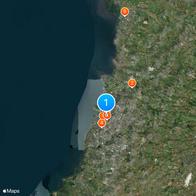
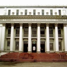
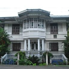
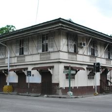
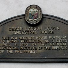
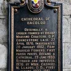
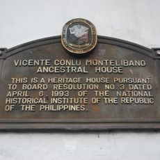
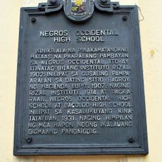
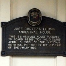
The settlement arose in 1755 on a hill and grew slowly until it gained importance under Spanish colonial rule as an administrative center. After the American occupation, the city developed into a trading hub for sugarcane in the region.

Culture

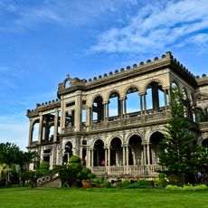
The name comes from the Hiligaynon word Bakolod, meaning a stony hill where the first families settled. Today, sugarcane farming shapes the surrounding countryside, while plazas and markets serve as meeting points for daily life.

Practical

Jeepneys run along the main roads and connect residential areas with markets and shopping zones. Taxis are available to reach more distant destinations such as hotels or restaurants outside the center.

Did you know?

Street vendors sell piaya, a flat pastry made from dough and molasses, that has been prepared here as a local sweet for generations. Restaurants outside the center grill chicken over open charcoal with a special blend of vinegar and annatto seeds.

Location
Inception
1755
Elevation above the sea
105 m
Shares border with
Talisay, Murcia
GPS coordinates
10.67646,122.95092
Latest update
December 12, 2025 21:11

AroundUs brings together thousands of curated places, local tips, and hidden gems, enriched daily by 60,000 contributors worldwide. Discover all places nearby (Negros Island Region).

Around this place
The Ruins
Philippines

The Ruins

5.2 km
San Sebastian Cathedral
Philippines

San Sebastian Cathedral

839 m
Paglaum Sports Complex
Philippines

Paglaum Sports Complex

1.8 km
Capitol Park and Lagoon
Philippines

Capitol Park and Lagoon

86 m
Negros Occidental Provincial Capitol
Philippines

Negros Occidental Provincial Capitol

4 m
Negros Museum
Philippines

Negros Museum

34 m
Mariano Ramos Ancestral House
Philippines

Mariano Ramos Ancestral House

652 m
Jose Corteza Locsin Ancestral House
Philippines

Jose Corteza Locsin Ancestral House

13.8 km
Cesar Lacson Locsin Ancestral House
Philippines

Cesar Lacson Locsin Ancestral House

13.8 km
Acacia Hotel
Philippines

Acacia Hotel

856 m
Resorts Negrense
Philippines

Resorts Negrense

10.4 km
Carribean Waterpark Resort
Philippines

Carribean Waterpark Resort

3.4 km
Rizal Elementary School Building historical marker
Philippines

Rizal Elementary School Building historical marker

1.6 km
Splash Park
Philippines

Splash Park

2.5 km
Site where Spanish Forces Surrendered in Negros Occidental historical marker
Philippines

Site where Spanish Forces Surrendered in Negros Occidental historical marker

1.2 km
Jose “Pitong” Ledesma Ancestral House historical marker
Philippines

Jose “Pitong” Ledesma Ancestral House historical marker

13.8 km
Teodoro Morada Ancestral House
Philippines

Teodoro Morada Ancestral House

13.9 km
Corazon Locsin Montelibano Memorial Regional Hospital historical marker
Philippines

Corazon Locsin Montelibano Memorial Regional Hospital historical marker

492 m
Manuel de la Rama Locsin Ancestral House
Philippines

Manuel de la Rama Locsin Ancestral House

13.9 km
Capitol of Negros Occidental historical marker
Philippines

Capitol of Negros Occidental historical marker

11 m
Soledad and Maria Montelibano Lacson Heritage House
Philippines

Soledad and Maria Montelibano Lacson Heritage House

13.8 km
Cesar Lacson Locsin Ancestral House historical marker
Philippines

Cesar Lacson Locsin Ancestral House historical marker

13.8 km
Cathedral of Bacolod historical marker
Philippines

Cathedral of Bacolod historical marker

838 m
Vicente Conlu Montelibano Ancestral House historical marker
Philippines

Vicente Conlu Montelibano Ancestral House historical marker

13.9 km
Negros Occidental High School historical marker
Philippines

Negros Occidental High School historical marker

1.8 km
Jose Ledesma Ancestral House
Philippines

Jose Ledesma Ancestral House

13.8 km
German Locsin Unson Ancestral House
Philippines

German Locsin Unson Ancestral House

13.9 km
Jose Corteza Locsin Ancestral House historical marker
Philippines

Jose Corteza Locsin Ancestral House historical marker

13.8 km
Show the full map
« Bacolod - Urban center in Western Visayas, Philippines » is provided by Around Us (aroundus.com). Images and texts are derived from Wikimedia project under a Creative Commons license. You are allowed to copy, distribute, and modify copies of this page, under the conditions set by the license, as long as this note is clearly visible.

Discover hidden gems everywhere you go!

From secret cafés to breathtaking viewpoints, skip the crowded tourist spots and find places that match your style. Our app makes it easy with voice search, smart filtering, route optimization, and insider tips from travelers worldwide. Download now for the complete mobile experience.

Around Us App Screenshot

A unique approach to discovering new places

Le Figaro

All the places worth exploring

France Info

A tailor-made excursion in just a few clicks

20 Minutes

Around Us
Travel Guide & Maps
Download

Send to your phone

QR Code
1

Open the camera app on your mobile.

2

Point at the QR code with your camera. A notification will appear.

3

Tap the notification to open the link.