Metro Manila, Administrative region in Manila, Philippines.
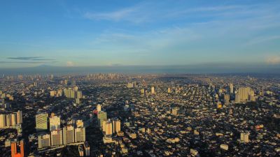
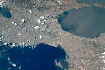
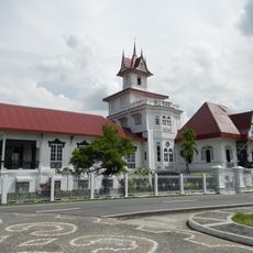
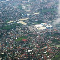
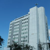
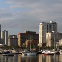
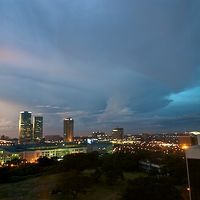
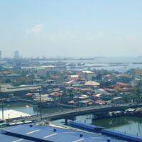
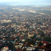
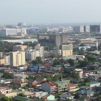
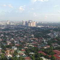
Metro Manila is an administrative region on the western coast of Luzon island that comprises sixteen cities and one municipality across roughly 636 square kilometers (245 square miles). It encompasses the capital city of Manila and neighboring built-up areas along Manila Bay through to inland zones, where residential towers, business districts and markets blend into one another.
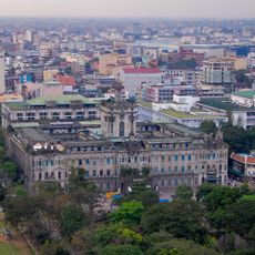
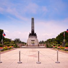
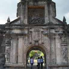
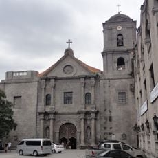
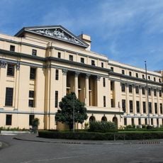
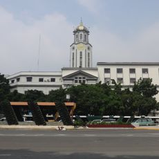
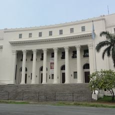
Spanish colonial authorities established their administrative centers here in the late sixteenth century, which later continued under American and Japanese rule. In 1975 the area was reorganized as the National Capital Region to coordinate governance among separate cities and municipalities.
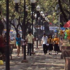
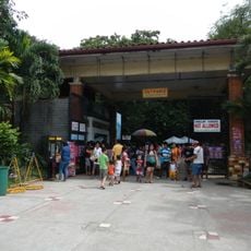
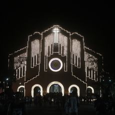
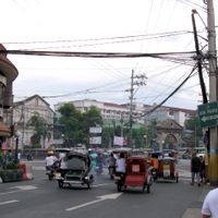
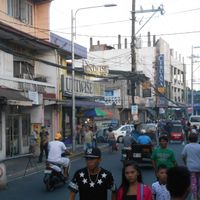
Street corners fill with food carts and sari-sari shops where residents buy snacks and chat, while jeepneys pause and depart at busy junctions. On Sundays, families gather at town fiestas with parades, food stalls and religious processions that occupy several blocks and interrupt the everyday pace for hours.
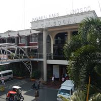
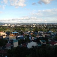
Each of the sixteen cities and the municipality has its own elected mayor and council that handle local decisions, while a central authority coordinates wider infrastructure. Travelers should expect traffic density and atmosphere to vary significantly depending on which city within the region they visit.
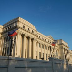
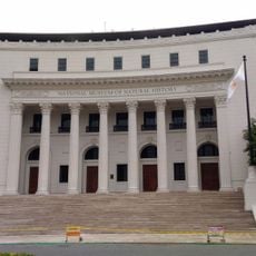
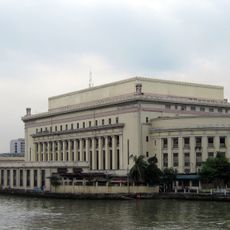
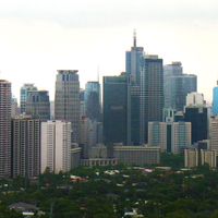
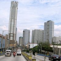
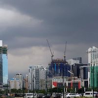
The region generates over a third of the national economy through its concentrated business centers in Makati, Bonifacio Global City and Ortigas Center. These districts crowd with office towers, while much of the surrounding area consists of residential blocks, markets and smaller commercial zones.
The community of curious travelers
AroundUs brings together thousands of curated places, local tips, and hidden gems, enriched daily by 60,000 contributors worldwide.