Pasig, Administrative center in Metro Manila, Philippines
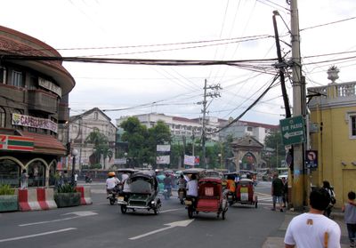
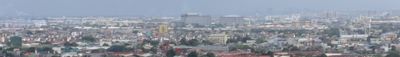
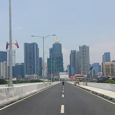
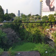
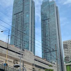
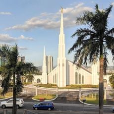
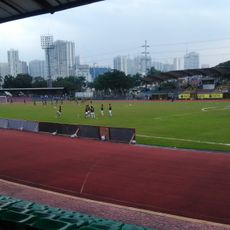
Pasig is one of sixteen cities within Metro Manila, situated along both banks of the Pasig River in the heart of the capital region. The city mixes high-rise districts with low-rise residential zones, crossed by numerous roads and several bridges over the river.
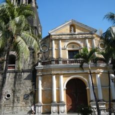
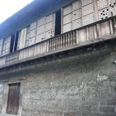
The settlement was founded in 1573 under Spanish colonial rule, growing as a trading center along the river. It later developed into a separate city within today's capital region.
The name Pasig originates from a Tagalog term referring to a river flowing into the sea, reflecting the deep connection between the city and its waterways.
Several bridges connect both riverbanks and make it easier to move between different parts of the city. Public transport like jeepneys and buses operate along main roads, linking the center with outer districts.
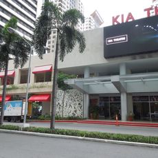
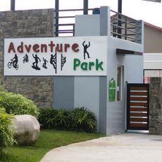
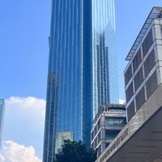
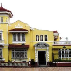
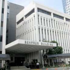
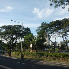
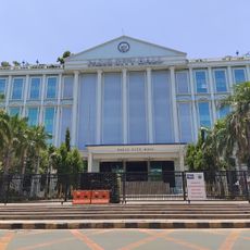
The eastern part of the city retains mostly its residential character today, where small shops and markets shape daily life. The west, by contrast, concentrates office towers and shopping centers that define the working rhythm of the region.
Location: Metro Manila
Inception: July 2, 1573
Elevation above the sea: 9 m
Reference: 137403000
Part of: Metro Manila
Shares border with: Quezon City, Taytay, Mandaluyong, Makati, Marikina, Taguig, Cainta
Website: https://pasigcity.gov.ph
GPS coordinates: 14.56050,121.07650
Latest update: December 14, 2025 20:21
EDSA Shrine
4 km
New Frontier Theater
7.3 km
People Power Monument
4.8 km
Pasig Rainforest Park
2.7 km
Pasig Cathedral
97 m
BDO Corporate Center
3.4 km
Santa Monica–Lawton Bridge
2.4 km
Skycity
4.2 km
Bahay na Tisa
243 m
Tiendesitas
2.8 km
The St. Francis Shangri-La Place
3.1 km
St. Francis Square
3.5 km
Manila Philippines Temple
4.6 km
Pasig City Museum
55 m
Marco Polo Ortigas Manila
3.3 km
Lopez Museum
2.9 km
PhilSports Football and Athletics Stadium
2.3 km
University of Makati Stadium
2.1 km
6underground
2.8 km
Makati Park and Garden
2.3 km
Pasig City Hall
528 m
Cubao Expo
7.2 km
Valle Verde Country Club
2 km
Church of Pateros historical marker
2 km
Camp Crame historical marker
6 km
EDSA People Power historical marker
4.7 km
Discovery Centre
3.3 km
Interorient Maritime Enterprises Inc.
2.3 kmVisited this place? Tap the stars to rate it and share your experience / photos with the community! Try now! You can cancel it anytime.
Discover hidden gems everywhere you go!
From secret cafés to breathtaking viewpoints, skip the crowded tourist spots and find places that match your style. Our app makes it easy with voice search, smart filtering, route optimization, and insider tips from travelers worldwide. Download now for the complete mobile experience.
A unique approach to discovering new places❞
— Le Figaro
All the places worth exploring❞
— France Info
A tailor-made excursion in just a few clicks❞
— 20 Minutes