Valenzuela, Industrial city in Metro Manila, Philippines
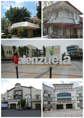
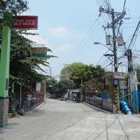
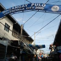
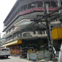
Valenzuela is an industrial city in the northern part of Metro Manila, Philippines, spread across thirty-three barangays and serving as a northern gateway to the capital region. The city stretches over flat terrain with residential, commercial, and industrial zones crossed by main roads leading to neighboring municipalities.
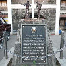
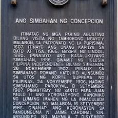
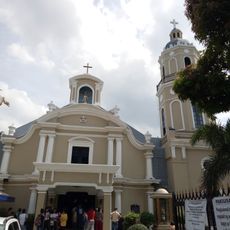
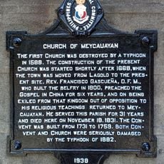
The settlement gained official status as a municipality on November 12, 1623, during the Spanish colonial period. In July 1960 the area was elevated to city status and evolved from agricultural use into an industrial center within the growing capital region.
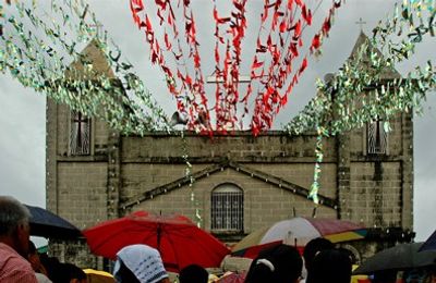
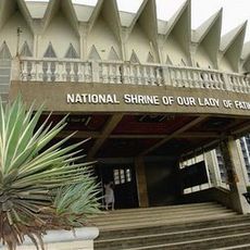
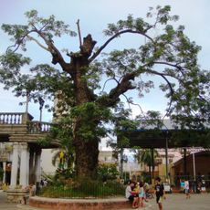
The name comes from a 17th-century Spanish physician whose influence threads through several neighborhoods. Today residents use public markets and community halls for celebrations and gatherings that keep local traditions alive.
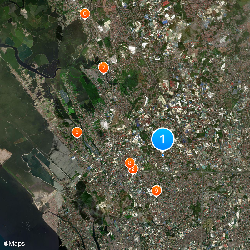
The city sits within easy reach at the northern edge of Metro Manila with connections to adjacent municipalities through several main roads. Visitors find services and facilities spread across the thirty-three barangays, with flood prevention measures active during the rainy season.
A large pumping station in Veinte Reales works continuously to protect low-lying areas from water accumulation. The system shows how urban infrastructure adapts to tropical weather conditions and flat topography.
Location: Metro Manila
Location: National Capital Region Third District
Inception: November 12, 1623
Elevation above the sea: 22 m
Reference: 137504000
Shares border with: Obando, Malabon, Caloocan, Quezon City, Marilao, Meycauayan
Website: https://valenzuela.gov.ph
GPS coordinates: 14.70000,120.98333
Latest update: December 12, 2025 23:43
People's Park
1.7 km
National Shrine of Our Lady of Fatima
2 km
Meycauayan Church
4.8 km
Polo Church
4.2 km
Marilao Church
7.4 km
Meycauayan Tree
4.8 km
Battle of Malinta historical marker
1.7 km
Museo Valenzuela
2 km
Dr. Pio Valenzuela historical marker
4.2 km
The Town of Obando historical marker
5.1 km
The Church of Concepcion historical marker
5.2 km
Concepcion Church
5.2 km
Salvador Z. Araneta historical marker
3.6 km
Headquarters of the Military Operations in Manila historical marker
2.7 km
Church of Obando historical marker
5.1 km
Pio Valenzuela historical marker
4.3 km
Church of Marilao historical marker
7.4 km
Church of Meycauayan historical marker
4.8 km
Polyman Manufacturing Corporation
3 km
People's Park Mini Zoo
1.8 km
Dr. Pio Valenzuela Museum
4.2 km
3R’s Pavilion...
5.7 km
HJMP - Grotto
3.4 km
Valenzuela City Auditorium
1.6 km
Centennial Stage
5.1 km
People's Park Ampitheater
1.7 km
Angel Cacnio Art Gallery
5.1 km
Spirit of Brotherhood
4.9 kmVisited this place? Tap the stars to rate it and share your experience / photos with the community! Try now! You can cancel it anytime.
Discover hidden gems everywhere you go!
From secret cafés to breathtaking viewpoints, skip the crowded tourist spots and find places that match your style. Our app makes it easy with voice search, smart filtering, route optimization, and insider tips from travelers worldwide. Download now for the complete mobile experience.
A unique approach to discovering new places❞
— Le Figaro
All the places worth exploring❞
— France Info
A tailor-made excursion in just a few clicks❞
— 20 Minutes