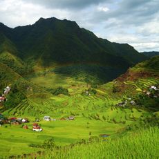
Banaue Rice Terraces, Agricultural terraces in Ifugao Province, Philippines.
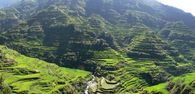
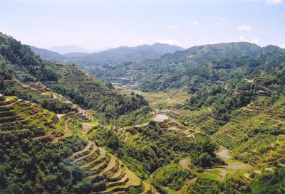
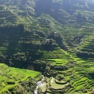
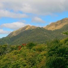
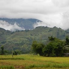
Banaue Rice Terraces are agricultural terraces in Ifugao Province on the island of Luzon, carved into forested mountain slopes in steps. The fields sit at different heights and form a system of narrow platforms supported by stone walls.
The Ifugao created these fields around 2,000 years ago using simple tools and carved channels to guide water from springs to the growing areas. Later generations expanded the system and improved the irrigation technique without changing the basic structure.
Farming here follows a calendar that ties planting and harvest to social gatherings where neighbors work together. Many farmers wear traditional clothing and use handmade tools during fieldwork, items crafted in the region for centuries.
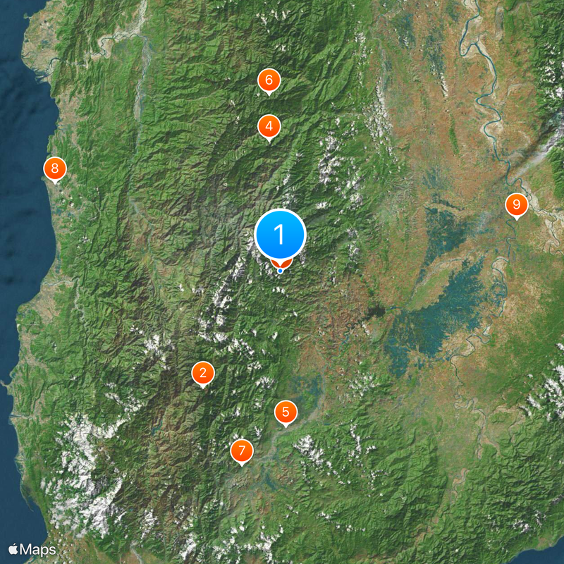
Several viewpoints around the area provide an overview of the layout, with Batad village sitting especially close to the farmed sections. Access often involves unpaved paths, so sturdy footwear and readiness for changing weather are advisable.
Water distribution happens without modern pumps, as the channels rely entirely on natural slope and each level automatically supplies the next one below. Some retaining walls contain stones set so precisely without mortar that they still hold today.
The community of curious travelers
AroundUs brings together thousands of curated places, local tips, and hidden gems, enriched daily by 60,000 contributors worldwide.