Enable Location

We need your location to show you interesting places around you

Discover nearby places

Find interesting locations and hidden gems around you

Precise directions

Get accurate directions and distances to places

Your location is never shared with other users. It's only used when you tap the location button.

Ifugao

Log in to your account

Start exploring — it's free

Trusted by 61,509 travelers worldwide

Continue with Google
Continue with Apple
or

We will send you a code to connect

By continuing, you accept our Terms and Conditions and our Privacy Policy

Check your inbox

We've sent a pincode in your inbox. Please enter the code below.

Ifugao, Province in Cordillera Administrative Region, Philippines.

Description

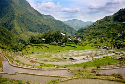
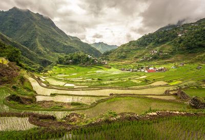
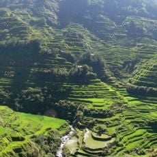
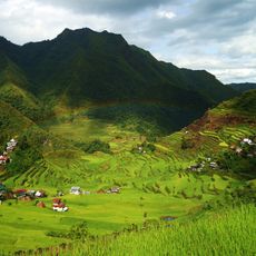
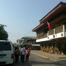
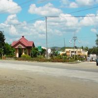
Ifugao is a mountainous province in the Cordillera Administrative Region on Luzon island, known for its terraced slopes and forested peaks. The landscape is crossed by deep valleys where villages of wooden houses cling to steep hillsides.

History

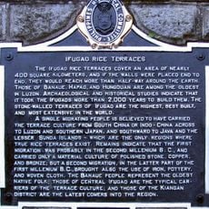
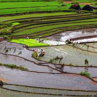
Settlements on the mountain slopes have existed for over 2,000 years when communities began carving rice terraces into steep hillsides. Colonial powers tried to control the region for centuries but the remote valleys remained largely autonomous until the early 20th century.

Culture

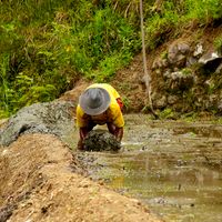
The rice terraces follow techniques passed down through generations and still applied during planting and harvest seasons. Village communities organize shared work days when neighbors help each other and sing traditional songs while tending the fields.

Practical

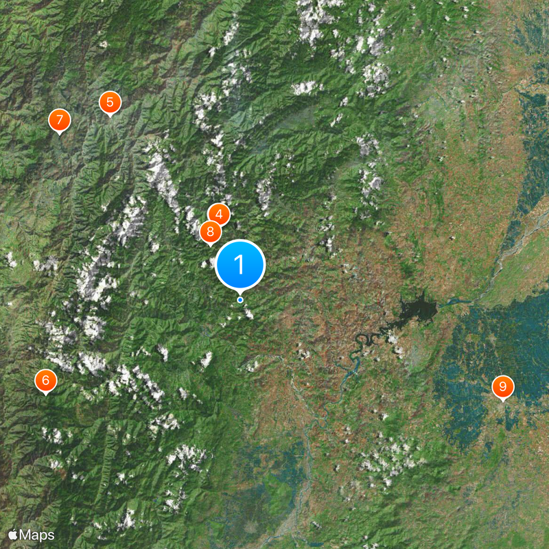
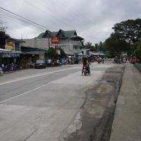
Overnight buses run regularly from Manila to the main towns and reach the region after about nine hours through mountainous terrain. Visitors should bring warm clothing as the elevation brings noticeably cooler temperatures than coastal areas below.

Did you know?

The stone walls between terraces were built without mortar and form a network spanning over 20,000 kilometers (12,430 miles) maintained by hand. The oldest terrace systems include complex irrigation channels made of bamboo that bring water from forest springs at high altitudes to the fields.

Inception
June 18, 1966
Capital city
Lagawe
Reference
1402700000
Shares border with
Benguet
GPS coordinates
16.83333,121.16667
Latest update
December 12, 2025 23:06

AroundUs brings together thousands of curated places, local tips, and hidden gems, enriched daily by 60,000 contributors worldwide. Discover all places nearby (Cordillera Administrative Region).

« Ifugao - Province in Cordillera Administrative Region, Philippines » is provided by Around Us (aroundus.com). Images and texts are derived from Wikimedia project under a Creative Commons license. You are allowed to copy, distribute, and modify copies of this page, under the conditions set by the license, as long as this note is clearly visible.

Discover hidden gems everywhere you go!

From secret cafés to breathtaking viewpoints, skip the crowded tourist spots and find places that match your style. Our app makes it easy with voice search, smart filtering, route optimization, and insider tips from travelers worldwide. Download now for the complete mobile experience.

Around Us App Screenshot

A unique approach to discovering new places

Le Figaro

All the places worth exploring

France Info

A tailor-made excursion in just a few clicks

20 Minutes

Around Us
Travel Guide & Maps
Download

Send to your phone

QR Code
1

Open the camera app on your mobile.

2

Point at the QR code with your camera. A notification will appear.

3

Tap the notification to open the link.