Bangsamoro, Autonomous region in southern Philippines
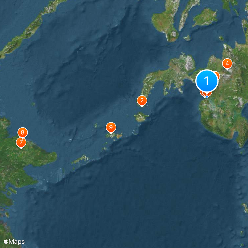
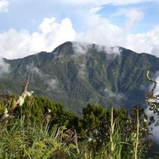
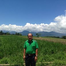
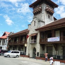
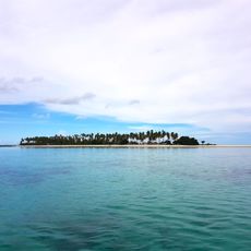
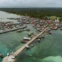
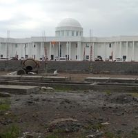
The Bangsamoro region covers several provinces in southern Mindanao, including Lanao del Sur and Maguindanao, with Cotabato City serving as its administrative center. This autonomous territory stretches across mainland and island areas with varied landscapes from coastal zones to highland regions.
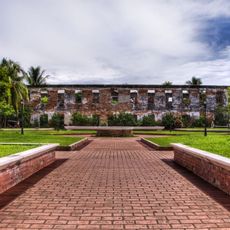
American colonial administration created the Moro Province in 1903 by grouping several southern districts under a single military government. The current autonomous territory emerged through peace agreements between the Philippine government and Muslim groups after decades of armed conflict.
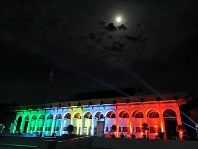
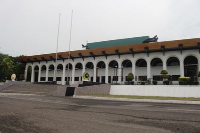
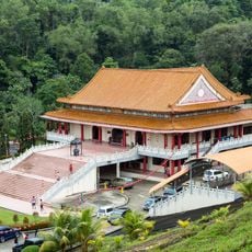
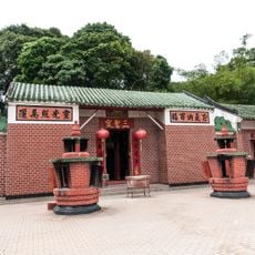
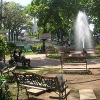
Local government offices in Cotabato City use Arabic alongside English and Filipino in official documents, while traditional Maranao weaving and Maguindanao metalwork appear in public markets. Muslim prayer times shape the daily rhythm of public institutions, and brightly decorated mosques define skylines across provincial capitals.
Travelers should respect local customs and religious practices, especially during Muslim holidays and prayer times. English is understood in government buildings and larger towns, while local languages such as Maguindanaon and Maranao prevail in rural areas.
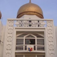
The parliament in Cotabato City uses an electoral system that reflects tribal lineages and religious leadership structures within the government framework. The territory manages education and religious affairs independently while coordinating security decisions with Manila.
The community of curious travelers
AroundUs brings together thousands of curated places, local tips, and hidden gems, enriched daily by 60,000 contributors worldwide.