Cotabato City, Administrative center in Mindanao, Philippines.
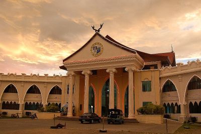
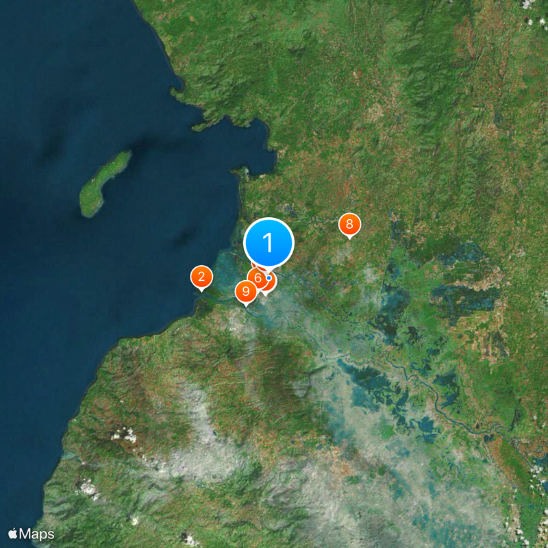
Cotabato City is the administrative center of the Bangsamoro region and covers roughly 176 square kilometers in central Mindanao, with much of its area lying below sea level. The city is made up of several districts along the Mindanao River and combines dense residential areas with government buildings, markets, and religious sites.
Spanish troops built a military base in the region in 1861 and made the settlement the capital of their sphere of influence in Mindanao. After the American colonial period and Japanese occupation, the city later became the seat of the newly formed Bangsamoro government.
The city takes its name from the Maguindanaon words Kuta Watu, meaning stone fort, which recalls the original settlement built by the Maguindanaon people. Today this heritage appears in the mosque domes, the marketplace customs, and the everyday use of the Maguindanaon language heard throughout many neighborhoods.
Several bus terminals connect the city with General Santos and Davao, and travel times can vary depending on traffic and road conditions. The low-lying areas are prone to flooding during the rainy season, so checking the weather situation before a visit is advisable.
The Sultan Haji Hassanal Bolkiah Mosque dominates the skyline as the largest Islamic house of worship in the country and draws visitors with its golden dome and slender minarets. Its prayer hall can accommodate several thousand worshippers and is used daily for communal prayer.
The community of curious travelers
AroundUs brings together thousands of curated places, local tips, and hidden gems, enriched daily by 60,000 contributors worldwide.