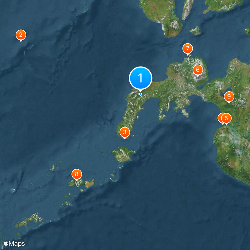
Zamboanga Peninsula, Southwestern peninsula in Mindanao, Philippines.
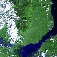
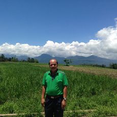
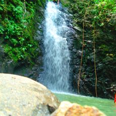
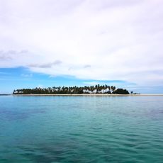
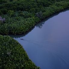
Zamboanga Peninsula is a region in southwestern Mindanao, Philippines, stretching between the Sulu Sea on its northern and western sides and the Moro Gulf to the south. The terrain shifts from flat coastal plains to forested mountain ranges, including the volcanic peaks of Ampiro and Malindang that shape the northern sections.
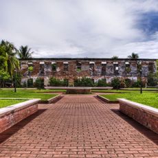
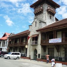
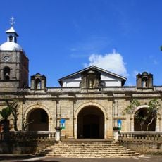
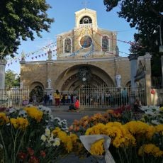
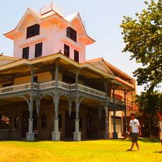
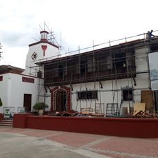
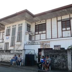
Spanish colonial forces built military outposts on the peninsula starting in 1569 as part of efforts to counter local resistance and raids from the Sultanate of Sulu. These installations later evolved into trading settlements that facilitated exchanges between European merchants and local communities along the coast.
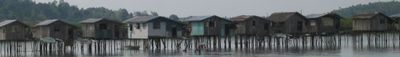
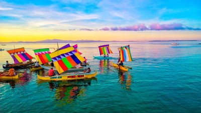
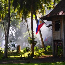
The Subanen people, living in inland settlements, practice communal farming and weaving while speaking dialects distinct from the coastal communities. Muslim residents concentrate around the waterfront areas, maintaining fishing traditions passed down through centuries of maritime trade along the Sulu Sea.
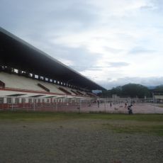
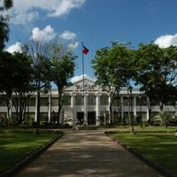
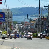
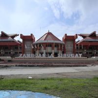
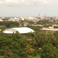
The region groups three provinces, Zamboanga del Norte, Zamboanga Sibugay, and Zamboanga del Sur, with administrative offices located in Pagadian. Roads connect the main city of Zamboanga to coastal areas and inland towns, with travel times ranging from a few hours to a full day depending on the section.
The fertile volcanic soil around the northern mountains supports crops such as rice, corn, sugarcane, tobacco, and abaca in tightly planted fields. These cultivated patches shape the appearance of the valleys and reach up the lower slopes of both peaks.
The community of curious travelers
AroundUs brings together thousands of curated places, local tips, and hidden gems, enriched daily by 60,000 contributors worldwide.