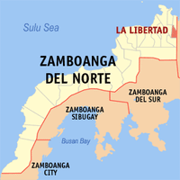
Zamboanga del Norte, Provincial territory in Zamboanga Peninsula, Philippines
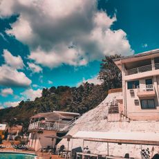
Zamboanga del Norte is a provincial territory on the Zamboanga Peninsula, stretching from the Sulu Sea coast to forested mountains inland. The landscape includes low coastal strips, rolling hills, and steep mountain slopes cut by rivers.
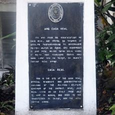
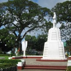
The territory separated from the original province of Zamboanga on June 6, 1952, following a Republic Act. This division took place after World War II during a reorganization of administrative boundaries across the Philippines.
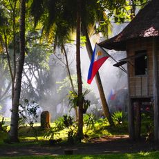
Residents speak Cebuano in daily life and often gather at markets where vendors sell fresh fish and coconuts. In smaller coastal communities, colorful wooden boats line the shores, used by families for fishing and short trips.
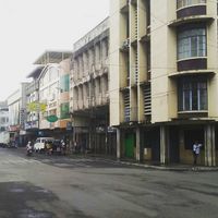
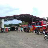
Dipolog and Dapitan serve as starting points for journeys to the surrounding municipalities, which are connected by a road network. Coastal areas can often be reached by boat, while mountain regions require longer drives on winding roads.
Mount Dabiak rises to around 2,600 meters (8,530 feet) and remains visible only from a distance for most visitors. Its dense forests shelter wildlife species rarely found in lower regions.
Location: Zamboanga Peninsula
Inception: June 23, 1635
Capital city: Dipolog
Reference: 0907200000
Shares border with: Zamboanga City, Zamboanga Sibugay, Zamboanga del Sur, Misamis Occidental, Negros Oriental
Website: http://zanorte.gov.ph
GPS coordinates: 8.13333,123.00000
Latest update: December 13, 2025 19:57
Jose Rizal Memorial Protected Landscape
75.1 km
Our Lady of the Most Holy Rosary Cathedral
63.2 kmMount Timolan Protected Landscape
46.2 kmPulacan Falls
64.1 km
Casa Bernedo
62.9 kmZimerman
73.4 kmBuug Natural Biotic Area
42.3 kmAliguay Island Protected Landscape/Seascape
72.4 kmSelinog Island Protected Landscape and Seascape
92.5 kmDumanquilas Protected Landscape/Seascape
60.6 km
Alindahaw Lakeview Resort
36.9 km
Pagadian Cathedral
59.3 km
Donel's Beach Resort
67.9 km
Casa Real historical marker
74.6 km
Site where Rizal Landed historical marker
74.3 km
Saint James the Greater Parish Church
74.5 km
The Visit of Valenzuela in Dapitan historical marker
75.1 km
Dr. Jose Rizal Memorial Hospital historical marker
72.6 km
José Rizal at Dapitan Church historical marker
74.5 km
Dapitan Park historical marker
74.5 km
The Old Town of Dapitan historical marker
73.7 km
Kipit quincentennial historical marker
57.2 kmRelief Map of Mindanao
74.6 km
Farm of Jose Rizal historical marker
52.4 km
Jose Rizal historical marker
75.2 km
Dapitan Park
74.5 kmAliguay Island Beach
72.9 kmCoronado Peaks
82.7 kmVisited this place? Tap the stars to rate it and share your experience / photos with the community! Try now! You can cancel it anytime.
Discover hidden gems everywhere you go!
From secret cafés to breathtaking viewpoints, skip the crowded tourist spots and find places that match your style. Our app makes it easy with voice search, smart filtering, route optimization, and insider tips from travelers worldwide. Download now for the complete mobile experience.
A unique approach to discovering new places❞
— Le Figaro
All the places worth exploring❞
— France Info
A tailor-made excursion in just a few clicks❞
— 20 Minutes