Sindangan, Municipality in Zamboanga del Norte, Philippines
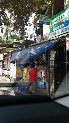
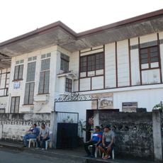
Sindangan is a coastal municipality in Zamboanga del Norte, on the island of Mindanao in the Philippines. It sits directly on the sea and has a small urban center, residential areas, and a port that connects it to other coastal towns.
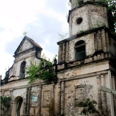
Sindangan became a separate municipality in 1936, when it was split off from a neighboring administrative area. This gave the town its own local government and allowed it to develop independently from that point on.
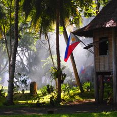
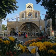
The name Sindangan comes from a local word tied to the sea, reflecting how deeply the water shapes life here. During festivals, the town square fills with food stalls and music that draw from the traditions of several local ethnic groups.
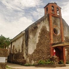
The town center is easy to get around on foot, and most basic services are clustered near the port and the main bus terminal. Travelers heading to neighboring provinces will find that these two points cover most onward connections.
Although Sindangan is a relatively small town, its port is known as one of the busiest fishing landings along the Zamboanga del Norte coast. Early morning is the best time to watch boats come in and the day's catch move through the market.
The community of curious travelers
AroundUs brings together thousands of curated places, local tips, and hidden gems, enriched daily by 60,000 contributors worldwide.