
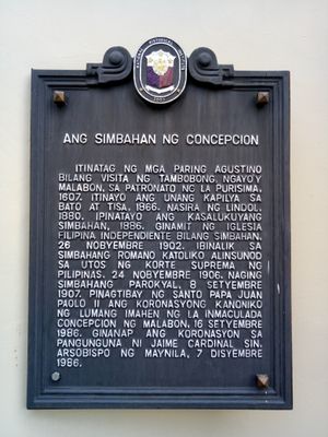
The Church of Concepcion historical marker
The Church of Concepcion historical marker, NHI historical marker for the Concepcion Church in Malabon
Location: Malabon
Inception: September 8, 2007
Creator: National Historical Commission of the Philippines
Address: 272 General Luna Street, Concepcion
GPS coordinates: 14.66897,120.94731
Latest update: March 8, 2025 00:32
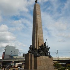
Bonifacio Monument
4.2 km
Divisoria
5.7 km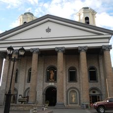
Malabon Church
1.2 km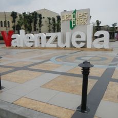
People's Park
3.5 km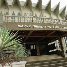
National Shrine of Our Lady of Fatima
3.9 km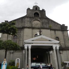
Caloocan Cathedral
3.4 km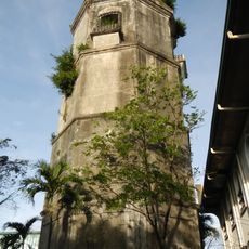
Polo Church
4.3 km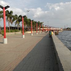
Navotas Centennial Park
2.1 km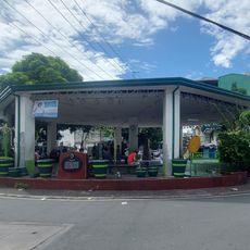
Plaza Vicente del Fierro
5.3 km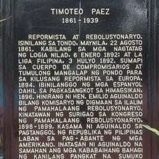
Timoteo Paez historical marker
4.8 km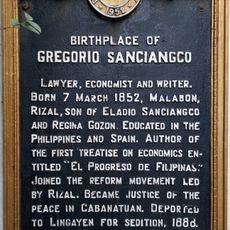
Birthplace of Gregorio Sanciangco historical marker
1.2 km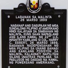
Battle of Malinta historical marker
3.6 km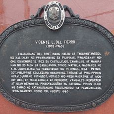
Vicente L. del Fierro historical marker
5.3 km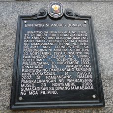
Monument of Andres Bonifacio historical marker
4.2 km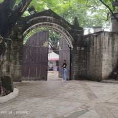
Museo Valenzuela
3.9 km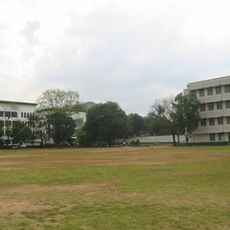
UE Caloocan Soccer Field
3.4 km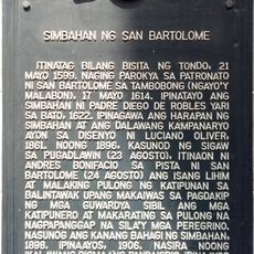
Church of San Bartolome historical marker
1.2 km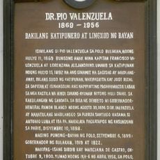
Dr. Pio Valenzuela historical marker
4.4 km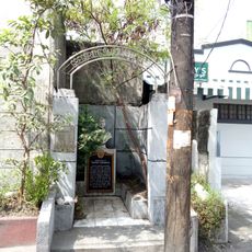
Gregorio Sanciangco Shrine
1.2 km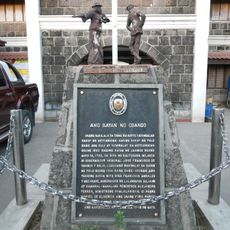
The Town of Obando historical marker
4.6 km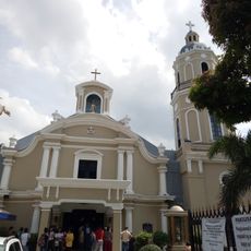
Concepcion Church
20 m
Salvador Z. Araneta historical marker
5.6 km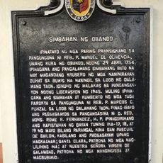
Church of Obando historical marker
4.7 km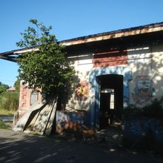
Headquarters of the Military Operations in Manila historical marker
4.6 km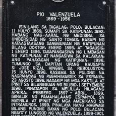
Pio Valenzuela historical marker
4.4 km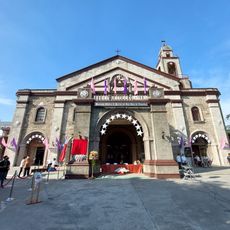
Navotas Church
761 m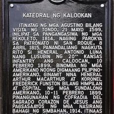
Cathedral of Caloocan historical marker
3.3 km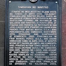
Church of Navotas historical marker
733 mReviews
Visited this place? Tap the stars to rate it and share your experience / photos with the community! Try now! You can cancel it anytime.
Discover hidden gems everywhere you go!
From secret cafés to breathtaking viewpoints, skip the crowded tourist spots and find places that match your style. Our app makes it easy with voice search, smart filtering, route optimization, and insider tips from travelers worldwide. Download now for the complete mobile experience.

A unique approach to discovering new places❞
— Le Figaro
All the places worth exploring❞
— France Info
A tailor-made excursion in just a few clicks❞
— 20 Minutes