
Taczów, village of Poland
Location: Gmina Zakrzew, Masovian Voivodeship
GPS coordinates: 51.46670,21.03330
Latest update: March 14, 2025 00:23
Saint Casimir Basilica in Radom
9.4 km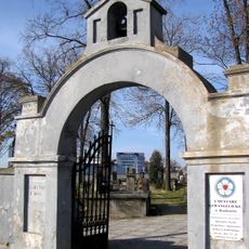
Evangelical-Augsburg Cemetery in Radom
9.1 km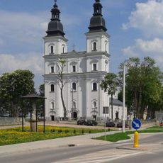
Church of the Nativity of the Virgin Mary in Stara Błotnica
9.5 km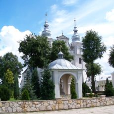
Saints Peter and Andrew church in Jedlińsk
8 km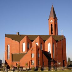
Our Lady of Częstochowa Church in Radom
9.2 km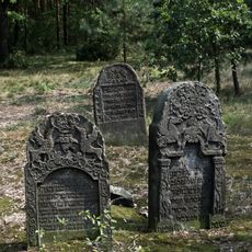
Jewish cemetery in Przytyk
8.1 km
Museum of Witold Gombrowicz
6.8 km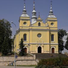
Exaltation of the Holy Cross church in Przytyk
8.9 km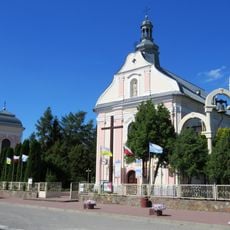
Kościół św. Jana Chrzciciela w Zakrzewie
3.6 km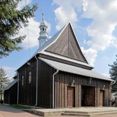
Saint John the Baptist church in Kaszów
7.9 km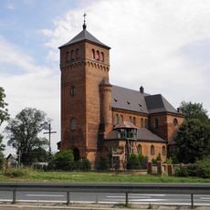
Saint Bartholomew church in Wsola
6.7 km
Kościół św. Jana Chrzciciela w Zakrzewie
3.6 km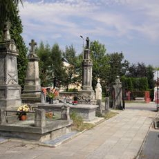
Catholic cemetery in Jedlińsk
8.2 km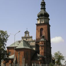
Saint Stanislaus church in Cerekiew
6.9 km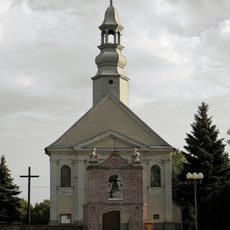
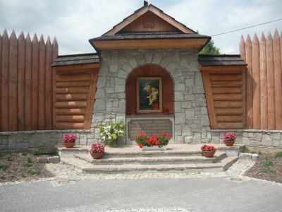
Saint Nicholas church in Jankowice
3.5 km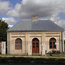
Tzw. konduktorka
9.2 km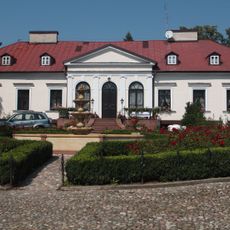
Zespół dworski
7.5 km
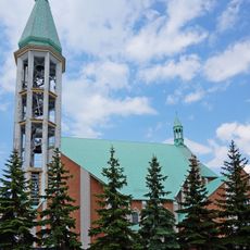
Zespół kościoła św. Jana Chrzciciela
3.6 km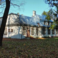
Budynek szpitalny
9.2 km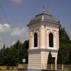
Dzwonnica w Zakrzewie
3.6 km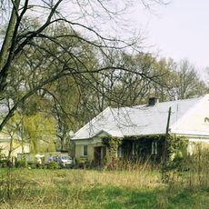
Oficyna
5.1 km
8 Okulickiego Street in Radom
10 km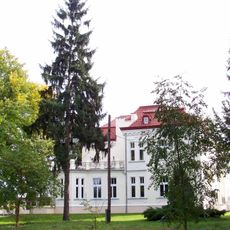
Zespół pałacowy
6.8 km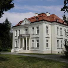
Pałac
6.8 km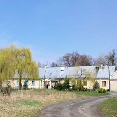
Zespół dworski w Piastowie
5.1 km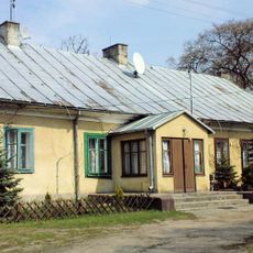
Dwór w Piastowie
5.1 km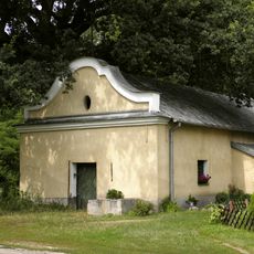
Lamus I
5.1 km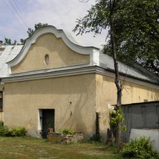
Lamus II
5.1 kmVisited this place? Tap the stars to rate it and share your experience / photos with the community! Try now! You can cancel it anytime.
Discover hidden gems everywhere you go!
From secret cafés to breathtaking viewpoints, skip the crowded tourist spots and find places that match your style. Our app makes it easy with voice search, smart filtering, route optimization, and insider tips from travelers worldwide. Download now for the complete mobile experience.

A unique approach to discovering new places❞
— Le Figaro
All the places worth exploring❞
— France Info
A tailor-made excursion in just a few clicks❞
— 20 Minutes