
Gmina Osiek Mały, rural gmina of Poland
Location: Koło County
Shares border with: Gmina Babiak, Gmina Koło, Koło, Gmina Kramsk, Gmina Sompolno
GPS coordinates: 52.28333,18.58333
Latest update: March 2, 2025 23:21
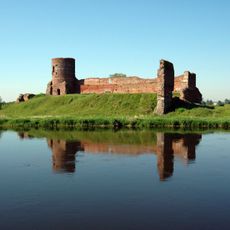
Koło Castle
9.7 km
Former faience and porcelain factory in Koło
10.1 km
Our Lady of Częstochowa church in Koło
9.3 km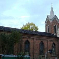
Church of the Providence of God in Koło
10.2 km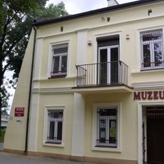
Muzeum Technik Ceramicznych w Kole
10.5 km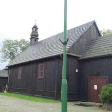
Kościół św. Andrzeja Apostoła w Mąkolnie
7.5 km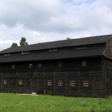
Granary in Koło
10.4 km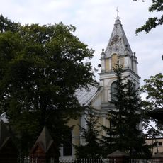
Kościół Przemienienia Pańskiego w Babiaku
8.9 km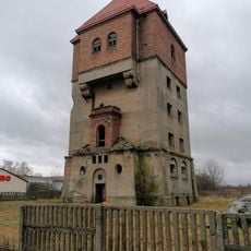
Water tower in Koło
8.6 km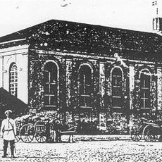
Synagoge
10.1 km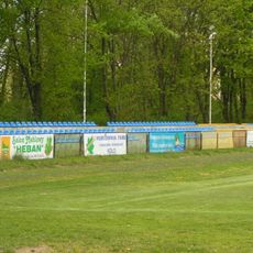
Stadion MOSiR w Kole
9.9 km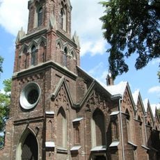
Church of the Nativity of the Virgin Mary in Racięcice
7 km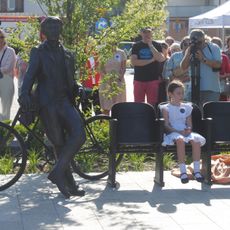
Ławeczka Czesława Freudenreicha w Kole
10 km
Old Market Square in Koło
10.5 km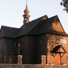
Church of the Assumption in Dęby Szlacheckie
1.9 km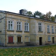
Pastorówka w Kole
10.2 km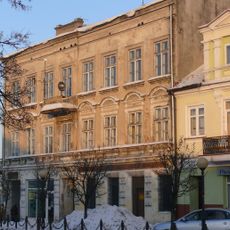
26 Stary Rynek in Koło
10.5 km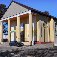
Former protestant church in Babiak
8.8 km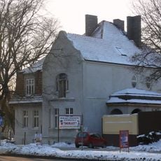
7 Sienkiewicza Street in Koło
10.2 km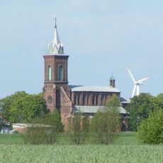
Church of Saint Bartholomew in Osiek Wielki
4.6 km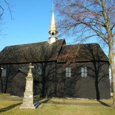
Saint Michael Archangel church in Dębno Poproboszczowskie
5.7 km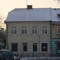
2 Grodzka Street in Koło
10.6 km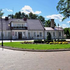
Zespół dworski
1.6 km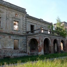
Pałac w Wierzbiu
10.1 km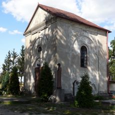
Cemetery in Dęby Szlacheckie
2.1 km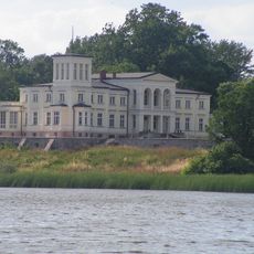
Pałac w Lubstowie
9.7 km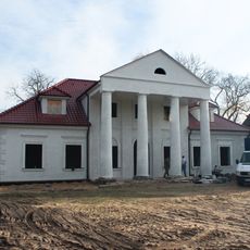
Dwór, XVIII/XIX
7.1 km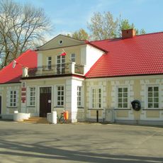
Dwór
1.6 kmVisited this place? Tap the stars to rate it and share your experience / photos with the community! Try now! You can cancel it anytime.
Discover hidden gems everywhere you go!
From secret cafés to breathtaking viewpoints, skip the crowded tourist spots and find places that match your style. Our app makes it easy with voice search, smart filtering, route optimization, and insider tips from travelers worldwide. Download now for the complete mobile experience.

A unique approach to discovering new places❞
— Le Figaro
All the places worth exploring❞
— France Info
A tailor-made excursion in just a few clicks❞
— 20 Minutes