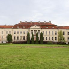
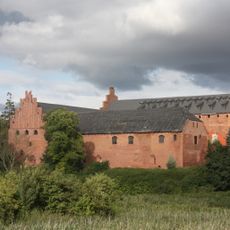
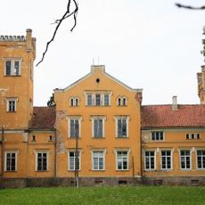
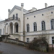
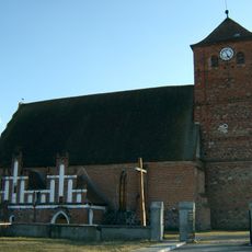
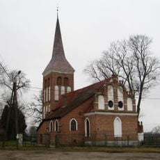
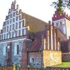
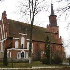
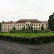
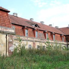
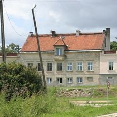
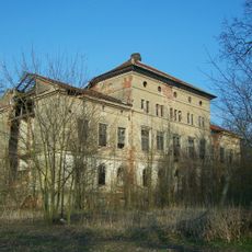
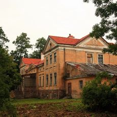
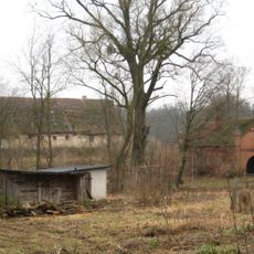
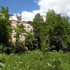
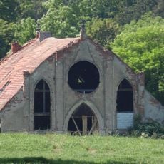
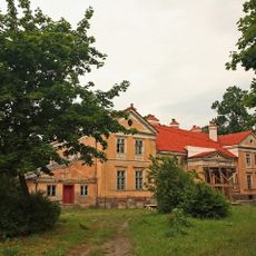
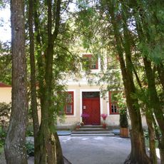
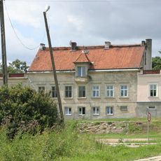
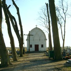
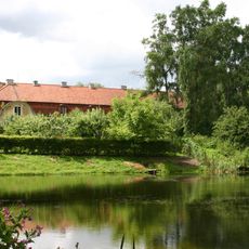
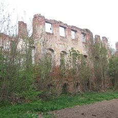
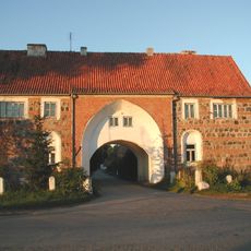
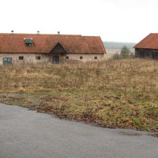
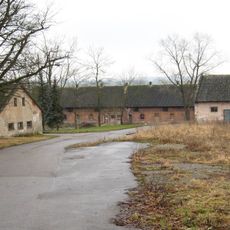
Gmina Barciany, rural gmina of Poland
Location: Kętrzyn County
Elevation above the sea: 59 m
Shares border with: Gmina Kętrzyn, Gmina Korsze, Gmina Sępopol, Gmina Srokowo
Website: http://inter.media.pl/nt-bin/barciany/start.asp?page=pl_mapa_gminy&tytul=Mapa%20gminy
GPS coordinates: 54.21667,21.35000
Latest update: March 3, 2025 10:35
Drogosze Palace
7.7 km
Barciany Castle
344 m
Jegławki Palace
6.4 km
Palace in Rodele
4.1 km
Church of the Immaculate Heart of Mary in Barciany
512 m
Our Lady of the Gate of Dawn church in Drogosze
6.8 km
Saint Anne church in Mołtajny
8.9 km
Our Lady of Perpetual Help church in Winda
6.8 km
Zespół pałacowy
7.7 km
Zespół pałacowo-folwarczny w Jegławkach
6.4 km
Budynek bramny (mieszkalny)
10 km
Palace in Wielewo
9.8 km
Palace in Skierki
8.6 km
Zespół pałacowy
10.5 km
Palace in Skandławki
7.1 km
Zespół zabudowy stajni
7.3 km
Palace in Arklity
8.7 km
Kuźnia
7.3 km
Spichlerz
7.3 km
Zespół pałacowy
7.1 km
Rectory in Drogosze
6.9 km
Zespół pałacowy
8.6 km
Kaplica cmentarna, na cmentarzu komunalnym
699 m
Zespół pałacowy
9.8 km
Pałac (pozostałości) w Arklitach
8.7 km
Folwark in Warnikajmy
9.9 km
Zespół dworski i folwarczny
10.3 km
Folwark (układ przestrzenny)
10.3 kmReviews
Visited this place? Tap the stars to rate it and share your experience / photos with the community! Try now! You can cancel it anytime.
Discover hidden gems everywhere you go!
From secret cafés to breathtaking viewpoints, skip the crowded tourist spots and find places that match your style. Our app makes it easy with voice search, smart filtering, route optimization, and insider tips from travelers worldwide. Download now for the complete mobile experience.
A unique approach to discovering new places❞
— Le Figaro
All the places worth exploring❞
— France Info
A tailor-made excursion in just a few clicks❞
— 20 Minutes