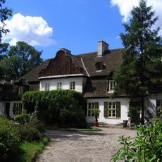
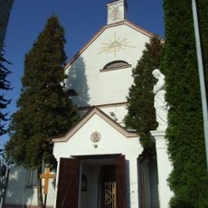
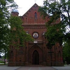
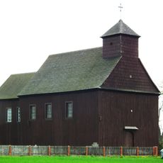
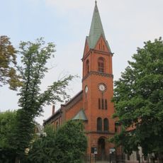
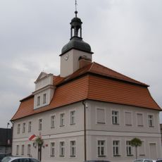
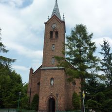
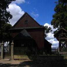
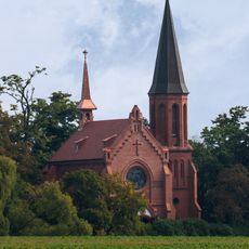
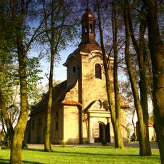
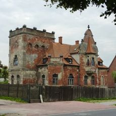
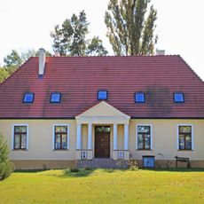
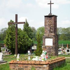
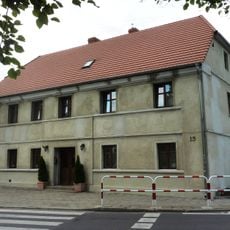
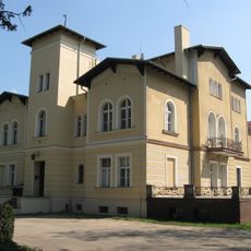
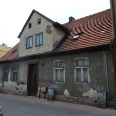
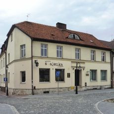
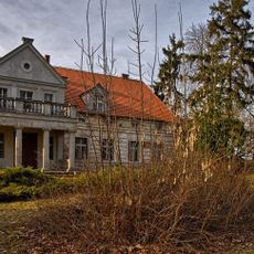
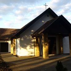
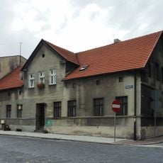
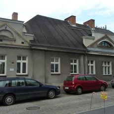
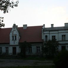
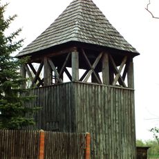
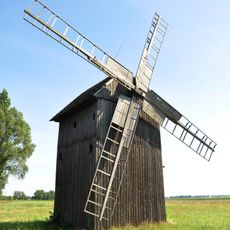
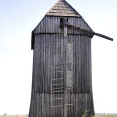
Gmina Zaniemyśl, rural gmina of Poland
Location: Środa Wielkopolska County
Shares border with: Gmina Kórnik, Gmina Krzykosy, Gmina Książ Wielkopolski, Gmina Śrem, Gmina Środa Wielkopolska
Website: http://zaniemysl.pl
GPS coordinates: 52.15694,17.17722
Latest update: March 12, 2025 15:19
Manor in Koszuty
8.6 km
Saint Adalbert church in Bnin
10.2 km
Saint Lawrence church in Zaniemyśl
1 km
Exaltation of the Holy Cross church in Gogolewo
8.9 km
Sacred Heart of Jesus church in Środa Wielkopolska
10.4 km
Town hall in Kórnik-Bnin
10 km
Immaculate Heart of Mary church in Zaniemyśl
1.1 km
Rezerwat przyrody Czmoń
9.9 km
Saint Martin church in Śnieciska
4.2 km
Saint Hedwig of Andechs church in Mądre
5.8 km
Saint Catherine and Sacred Heart church in Koszuty
8.5 km
32 Niedziałkowkiego Street in Środa Wielkopolska
9.9 km
Manor house in Gogolewo
9 km
Cmentarz w Gogolewie
8.9 km
13 Kilińskiego Street in Środa Wielkopolska
10.4 km
Pałac, Poznańska 12 w Łęknie
1.7 km
5 Krótka Street in Środa Wielkopolska
10.4 km
9 Stary Rynek in Środa Wielkopolska
10.4 km
14 Stary Rynek in Środa Wielkopolska
10.5 km
Zespół dworski, XVIII/XIX
3.4 km
Cemetery in Kórnik
10.2 km
4 Kolegiacka Street in Środa Wielkopolska
10.5 km
7 Kilińskiego Street in Środa Wielkopolska
10.5 km
Dwór w Polwicy
1.6 km
Dzwonnica w Gogolewie
8.9 km
Pałczyna po 1970
8.4 km
Pięczkowa po 1970
8.4 km
Dwór w Czarnotkach
3.4 kmReviews
Visited this place? Tap the stars to rate it and share your experience / photos with the community! Try now! You can cancel it anytime.
Discover hidden gems everywhere you go!
From secret cafés to breathtaking viewpoints, skip the crowded tourist spots and find places that match your style. Our app makes it easy with voice search, smart filtering, route optimization, and insider tips from travelers worldwide. Download now for the complete mobile experience.
A unique approach to discovering new places❞
— Le Figaro
All the places worth exploring❞
— France Info
A tailor-made excursion in just a few clicks❞
— 20 Minutes