
Borów, Strzelin County, village of Poland
Location: Gmina Borów
Elevation above the sea: 147 m
GPS coordinates: 50.86667,16.98333
Latest update: March 15, 2025 16:09
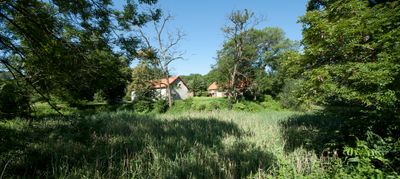
Palace in Mańczyce
1.1 km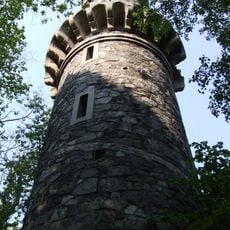
Bismarck Tower, Janówek
11.1 km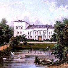
Palace in Tyniec nad Ślęzą
4.6 km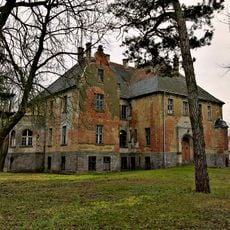
Pałac w Kucharach
7.7 km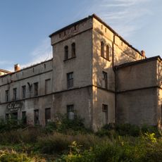
Palace in Żerniki Wielkie
10.8 km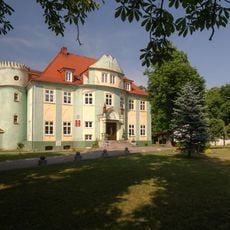
Manor in Węgry
7.8 km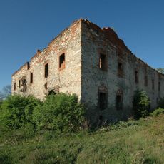
Manor house in Radzików
10.7 km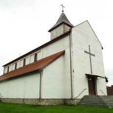
Church of the Immaculate Heart of Mary in Karczyn
8.2 km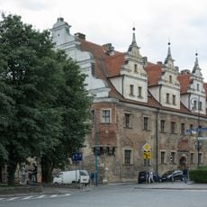
House of the Dukes of Brzeg in Strzelin
11.4 km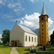
Saint John of Nepomuk church in Zielenice
4.5 km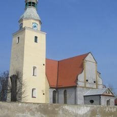
Saint Lawrence church in Borek Strzeliński
5.6 km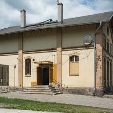
Budynek telegrafu
10.6 km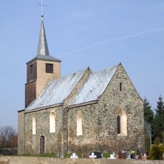
Saint Casimir church in Wilczkowice
9.2 km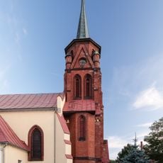
Exaltation of the Holy Cross church in Jaksonów
7.7 km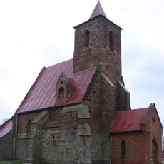
Church of St. Mary Assumption in Wilczków
11.1 km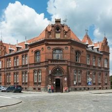
Post office in Strzelin
11.1 km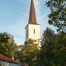
Kościół św. Jadwigi w Węgrach
7.9 km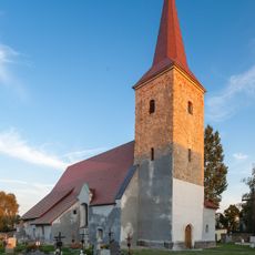
Kościół św. Katarzyny, XV/XVI
6.1 km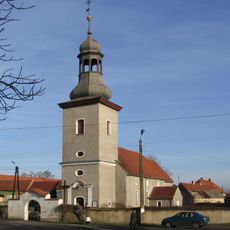
Kościół śś. Antoniego i Macieja w Glinicy
10.2 km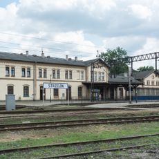
Zespół dworca kolejowego w Strzelinie
10.6 km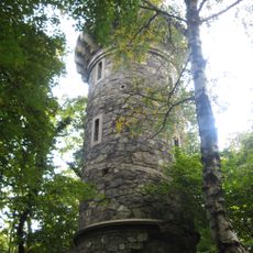
Wieża widokowa na szczycie Jańskiej Góry
11.1 km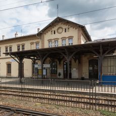
Wiata peronowa I
10.6 km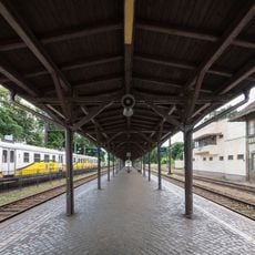
Wiata peronowa II
10.7 km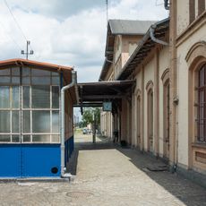
3 zejścia do tunelu
10.6 km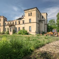
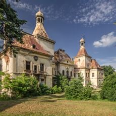
Zespół pałacowy
10.9 km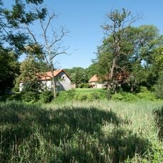
Relikty zamku z fosą
2 km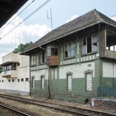
Budynek nastawni
10.6 km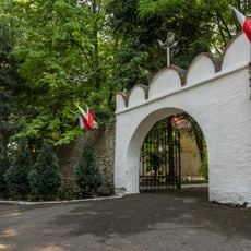
Ogrodzenie z bramą
7.9 kmVisited this place? Tap the stars to rate it and share your experience / photos with the community! Try now! You can cancel it anytime.
Discover hidden gems everywhere you go!
From secret cafés to breathtaking viewpoints, skip the crowded tourist spots and find places that match your style. Our app makes it easy with voice search, smart filtering, route optimization, and insider tips from travelers worldwide. Download now for the complete mobile experience.

A unique approach to discovering new places❞
— Le Figaro
All the places worth exploring❞
— France Info
A tailor-made excursion in just a few clicks❞
— 20 Minutes