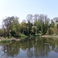
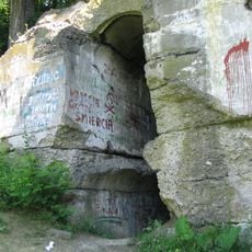
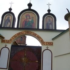
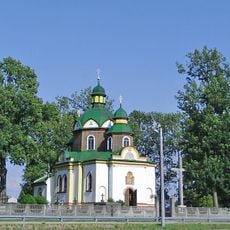
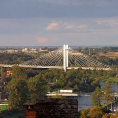
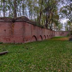
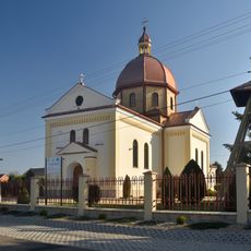
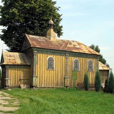
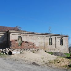
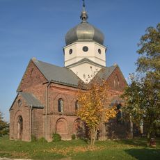
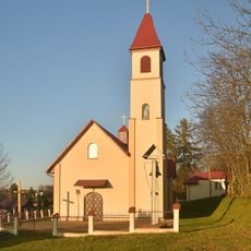
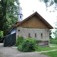
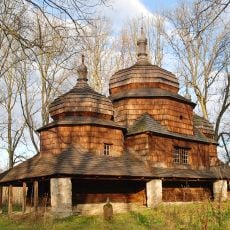
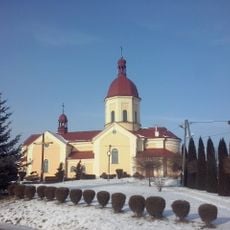
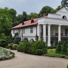
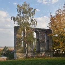
Gmina Orły, rural gmina of Poland
Location: Przemyśl County
Shares border with: Gmina Żurawica, Gmina Stubno, Gmina Radymno, Chłopice
Website: http://gminaorly.pl
GPS coordinates: 49.86667,22.80000
Latest update: March 22, 2025 19:01
Arboretum Bolestraszyce
7 km
Fort GW XIII "San Rideau"
6.7 km
Ujkowice Monastery
8.2 km
Orthodox church of the Dormition of the Virgin Mary in Przemyśl
8.6 km
Most Brama Przemyska
7.8 km
Ptaszarnia
7 km
Fort W XI "Duńkowiczki"
2.6 km
Church of Saint Michael Archangel in Walawa
6.4 km
Muzeum Fort XII Werner w Żurawicy
3.8 km
Archiwum Państwowe w Przemyślu
8.8 km
Protection of the Theotokos church in Drohojów
3.2 km
Church of the Assumption in Zadąbrowie
4.2 km
Church of the Transfiguration in Ujkowice
6.9 km
Simeon Stylites church in Maćkowice
7.2 km
Fort GW IX "Brunner"
7.2 km
Przemyśl Fort X "Orzechowce"
4.9 km
Orthodox Church of the Transfiguration in Wyszatyce
6.4 km
Church of Saint Nicholas in Batycze
3.8 km
Paraskevi of Iconium church in Święte
7.6 km
Przemyśl Fort XIIIb "Bolestraszyce"
6.3 km
Civil defence shelter in Przemyśl
8.7 km
House from Kalwaria Pacławska
7 km
Cultural heritage monuments in gmina Żurawica
6.9 km
Cerkiew Eliasza Proroka w Małkowicach
2 km
Cerkiew Pokrow Bogarodzicy w Buszkowicach
6.9 km
Michałowski's Palace
6.9 km
Dzwonica w Wyszatycach
6.5 km
Fort GHW X b ZAGRODNIA
6.1 kmVisited this place? Tap the stars to rate it and share your experience / photos with the community! Try now! You can cancel it anytime.
Discover hidden gems everywhere you go!
From secret cafés to breathtaking viewpoints, skip the crowded tourist spots and find places that match your style. Our app makes it easy with voice search, smart filtering, route optimization, and insider tips from travelers worldwide. Download now for the complete mobile experience.
A unique approach to discovering new places❞
— Le Figaro
All the places worth exploring❞
— France Info
A tailor-made excursion in just a few clicks❞
— 20 Minutes