
Czciradz, village in Lubusz, Poland
Location: Gmina Kożuchów
Elevation above the sea: 113 m
GPS coordinates: 51.73333,15.63333
Latest update: March 10, 2025 19:22
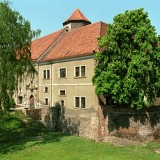
Kożuchów Castle
3 km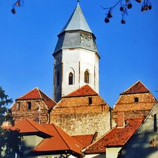
Purification of Saint Mary church in Kożuchów
3 km
Bielice Palace
3.7 km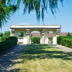
Kożuchów Palace
2.9 km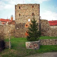
Mury obronne w Kożuchowie
2.9 km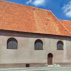
Holy Spirit Church in Kożuchów
3.2 km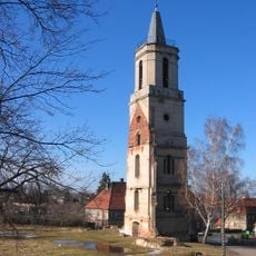
Protestant Church in Kożuchów
3 km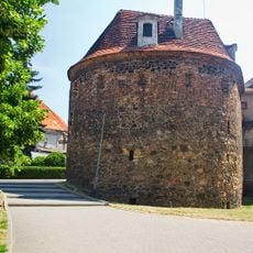
Defensive walls in Kożuchów
3.2 km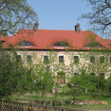
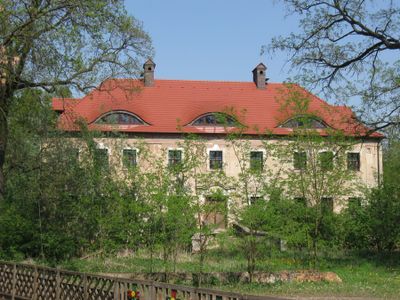
Palace in Czciradz
735 m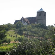
Saint Anne church in Solniki
2.2 km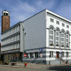
Kożuchów Town Hall
3 km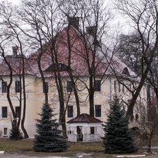
Manor in Solniki
1.9 km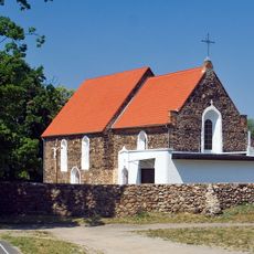
Church of the Assumption in Mirocin Dolny
4.6 km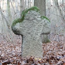
Krzyż kamienny w Mirocinie Dolnym
5.8 km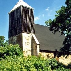
Saint Clemens church in Borów Polski
4.6 km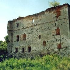
Borów Polski Castle
4.6 km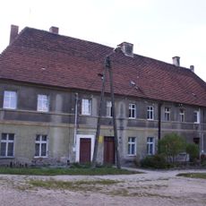
3/4 Ewangelicki Square in Kożuchów
3 km
8 Klasztorna Street in Kożuchów
3 km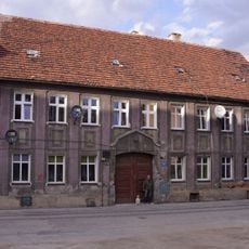
9 Legnicka Street in Kożuchów
2.9 km
Cmentarz ewangelicki Św. Trójcy w Kożuchowie
3.2 km
1 Kopernika Square in Kożuchów
3.3 km
2 Spacerowa Street in Kożuchów
3.2 km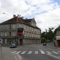
1 Chopina Street in Kożuchów
3.2 km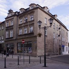
8 Market Square in Kożuchów
3 km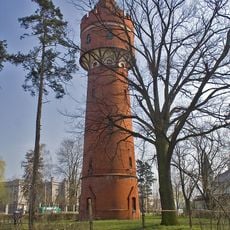
Water tower in Kożuchów
2.8 km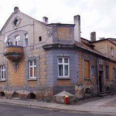
12, 1 Maja Street in Kożuchów
3.1 km
1, 1 Maja Street in Kożuchów
3 km
6 Drzymały Street in Kożuchów
3.3 kmReviews
Visited this place? Tap the stars to rate it and share your experience / photos with the community! Try now! You can cancel it anytime.
Discover hidden gems everywhere you go!
From secret cafés to breathtaking viewpoints, skip the crowded tourist spots and find places that match your style. Our app makes it easy with voice search, smart filtering, route optimization, and insider tips from travelers worldwide. Download now for the complete mobile experience.

A unique approach to discovering new places❞
— Le Figaro
All the places worth exploring❞
— France Info
A tailor-made excursion in just a few clicks❞
— 20 Minutes